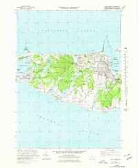
1972 Map of Nantucket
USGS Topo · Published 1978About this map
Nantucket's historic core and the western reaches of the island are documented here just as the late 20th-century tourism era was fully establishing itself. The town’s harbor-front infrastructure is shown in detail, from the Brant Pt Lighthouse and the US Coast Guard Sta to the activity centered around Steamboat Wharf. Inland, the landscape retains its characteristic mix of low-lying wetlands and sandy rises, including named features like Rotten Pumpkin Pond and Trots Swamp.
Find a feature on this map
97 named features on this map. Tap any name to fly to it.
Don’t see what you’re looking for? This feature index may not catch every label — zoom into the map to look around manually.
Map Details
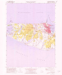
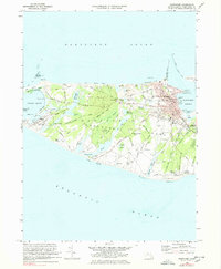
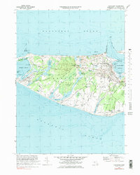
Editions of this 1972 Nantucket Map
4 editions found
Other maps of this area

1887 · Muskeget
USGS Topo · 1:62,500

1889 · Muskeget
USGS Topo · 1:62,500

1889 · Nantucket
USGS Topo · 1:62,500

1893 · Nantucket
USGS Topo · 1:62,500

1893 · Muskeget
USGS Topo · 1:62,500

1899 · Muskeget
USGS Topo · 1:62,500

1901 · Nantucket
USGS Topo · 1:62,500

1942 · Nantucket
USGS Topo · 1:125,000

1944 · Tuckernuck Island
USGS Topo · 1:31,680

1945 · Nantucket
USGS Topo · 1:31,680