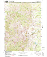
1969 Map of Naomi Peak
USGS Topo · Published 1991About this map
Cache National Forest dominates this high-altitude landscape of the Bear River Range along the Utah-Idaho border. The 1969 field-checked topography reveals a complex network of glacial basins and steep ridges, anchored by the prominence of Naomi Peak. Settlement is absent in this wilderness area, which instead features seasonal recreational infrastructure such as High Creek Campground and Tony Grove Campground.
Find a feature on this map
48 named features on this map. Tap any name to fly to it.
Don’t see what you’re looking for? This feature index may not catch every label — zoom into the map to look around manually.
Map Details
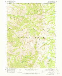
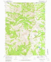
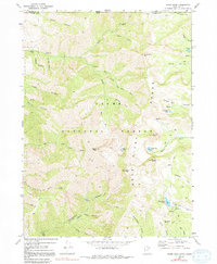
Editions of this 1969 Naomi Peak Map
4 editions found
Other maps of this area

1914 · Logan
USGS Topo · 1:125,000

1915 · Preston
USGS Topo · 1:96,000

1916 · Logan
USGS Topo · 1:125,000

1918 · Preston
USGS Topo · 1:125,000

1954 · Ogden
USGS Topo · 1:250,000

1955 · Preston
USGS Topo · 1:250,000

1958 · Ogden
USGS Topo · 1:250,000

1958 · Preston
USGS Topo · 1:250,000

1960 · Ogden
USGS Topo · 1:250,000

1962 · Preston
USGS Topo · 1:250,000