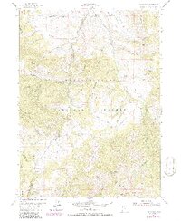
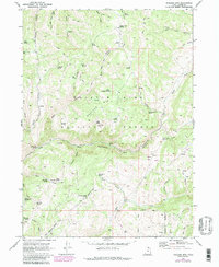
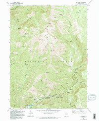
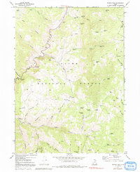
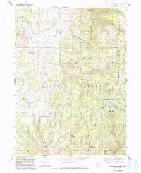
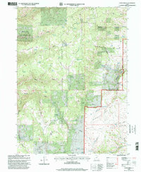
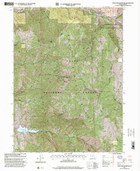
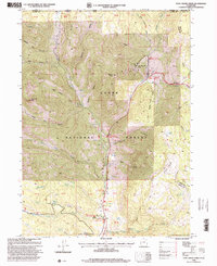
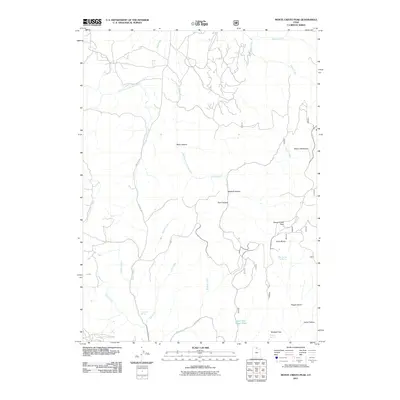
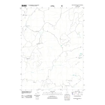
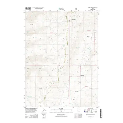
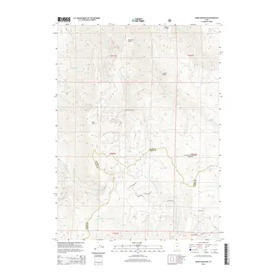
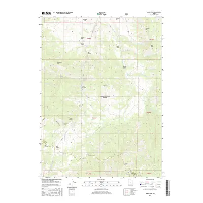
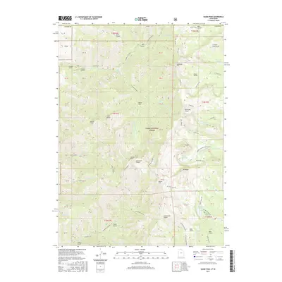
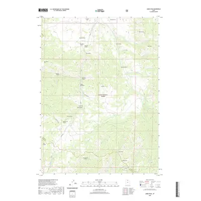
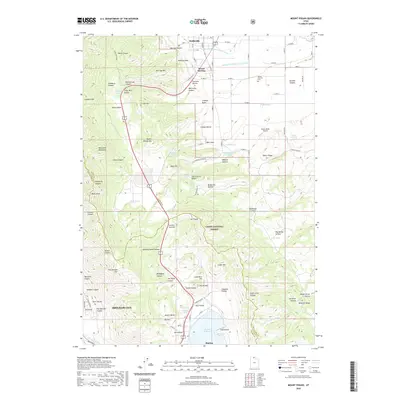
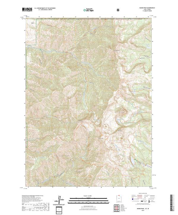
1969 Map of Naomi Peak
USGS Topo · Published 1973About this map
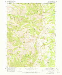
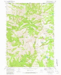
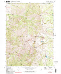
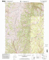
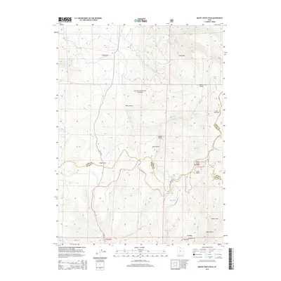
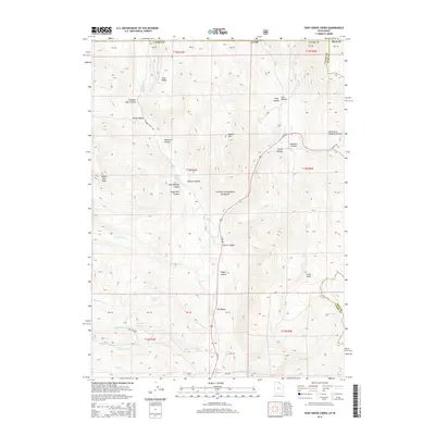
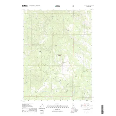
The Bear River Range dominates this late-1960s survey, marking the rugged high country where the Idaho and Utah state line crosses Cache National Forest. The landscape is defined by the high summit of Naomi Peak and the twin formations of Mount Gog and Mount Magog. This terrain was heavily utilized for recreation and resource extraction, evidenced by the High Creek Campground and a Mine located near City Creek.
Find a feature on this map
50 named features on this map. Tap any name to fly to it.
Don’t see what you’re looking for? This feature index may not catch every label — zoom into the map to look around manually.
Map Details
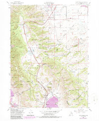
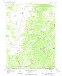
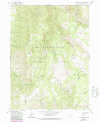
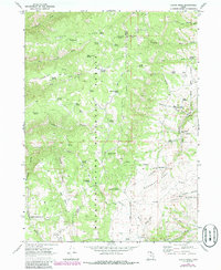
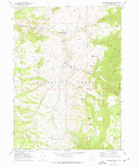
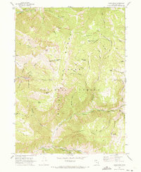
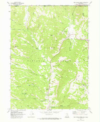
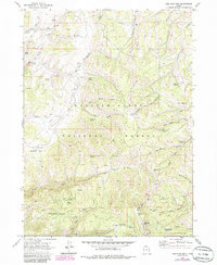
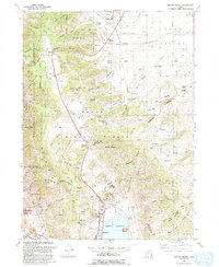
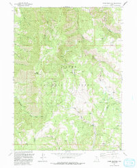
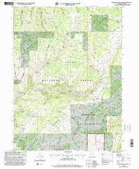
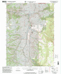
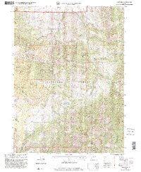
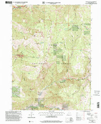
Editions of this 1969 Naomi Peak Map
4 editions found
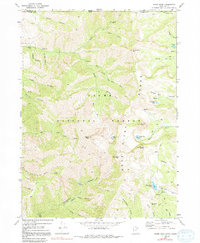
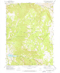
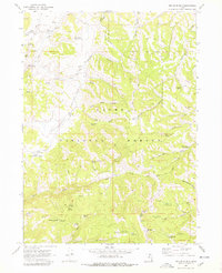
Historical Maps of Cache County Through Time
104 maps found
1949 Boulter Mts
Cache County, UT
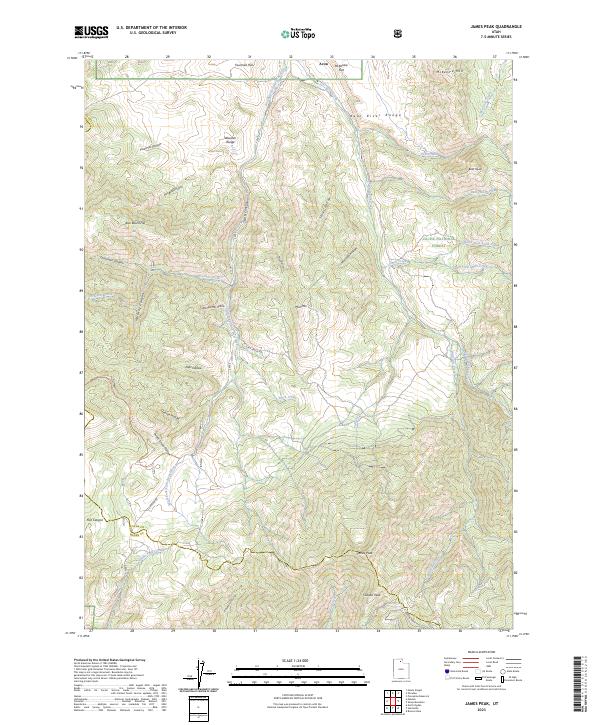
1955 James Peak
Cache County, UT
1955 Mount Pisgah
Cache County, UT
1964 Monte Cristo PK
Cache County, UT
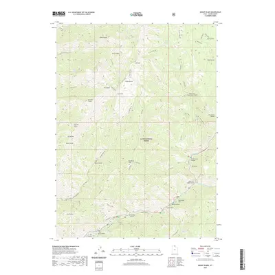
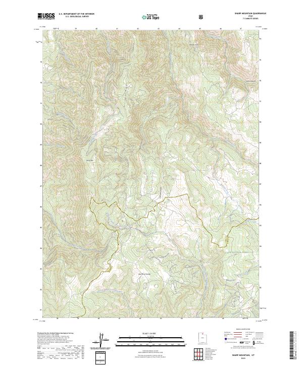
1964 Sharp Mountain
Cache County, UT
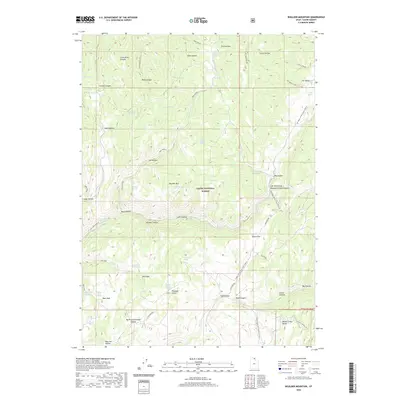
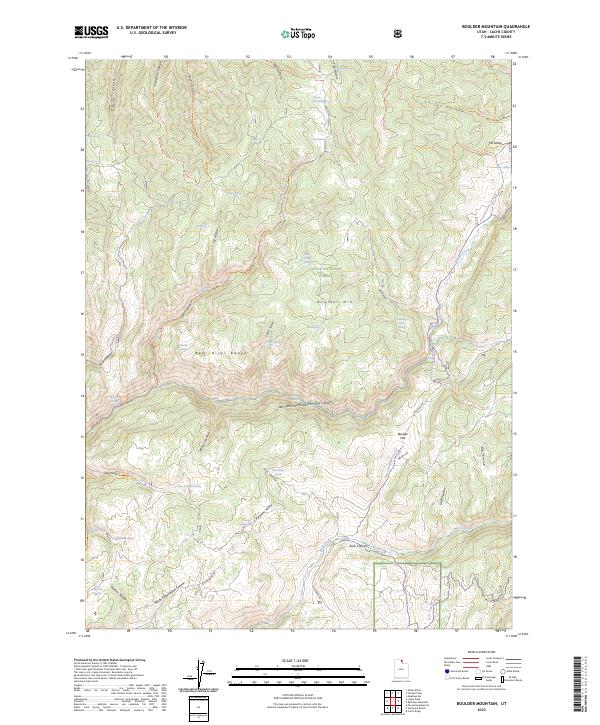
1969 Boulder Mtn
Cache County, UT
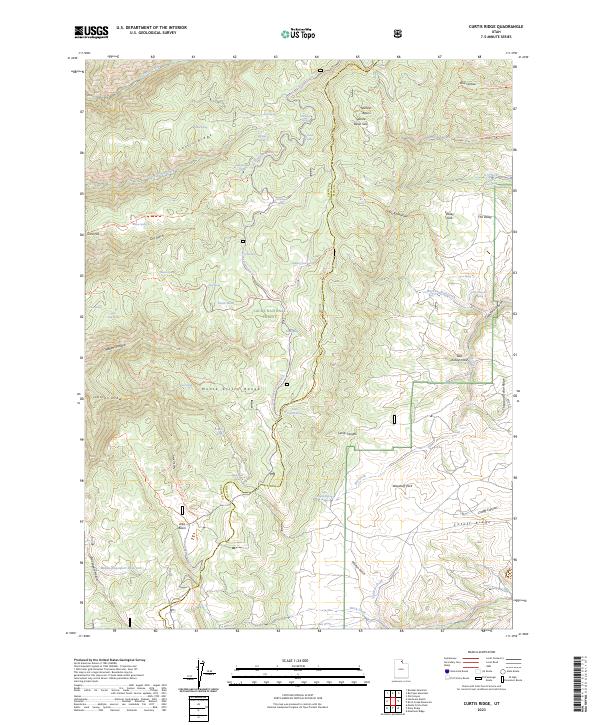
1969 Curtis Ridge
Cache County, UT
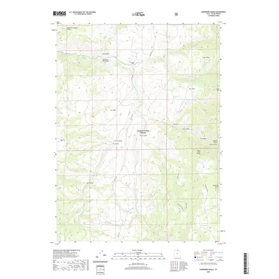
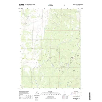
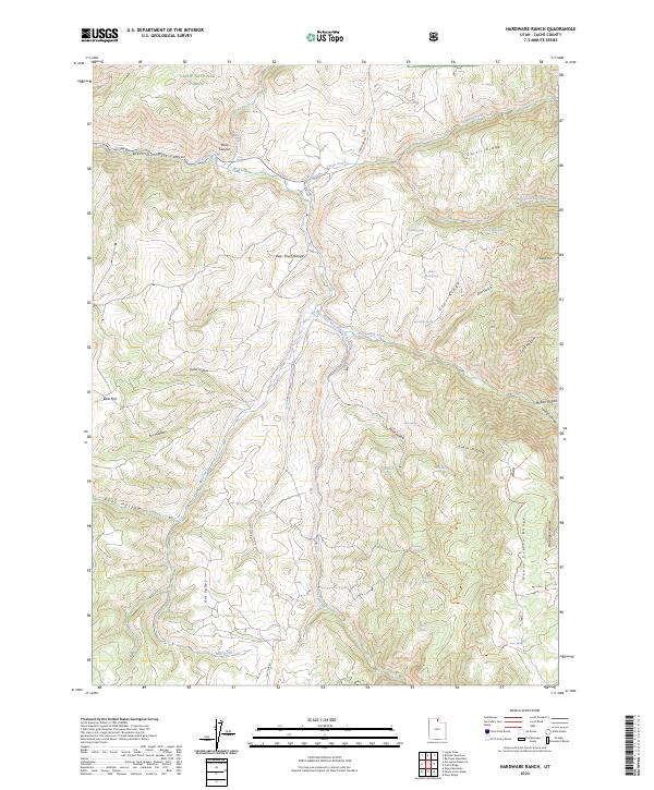
1969 Hardware Ranch
Cache County, UT
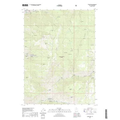
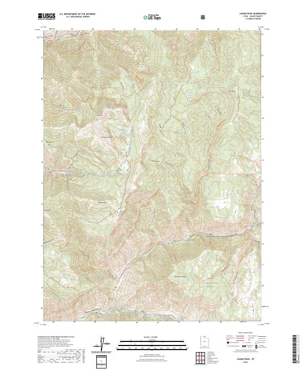
1969 Logan Peak
Cache County, UT
1969 Mt. Elmer
Cache County, UT
1969 Naomi Peak
Cache County, UT
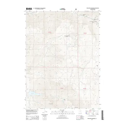
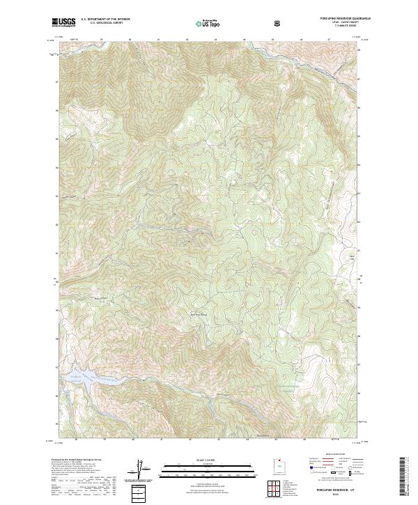
1969 Porcupine Reservoir
Cache County, UT
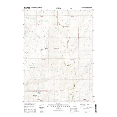
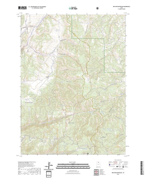
1969 Red Spur Mtn
Cache County, UT
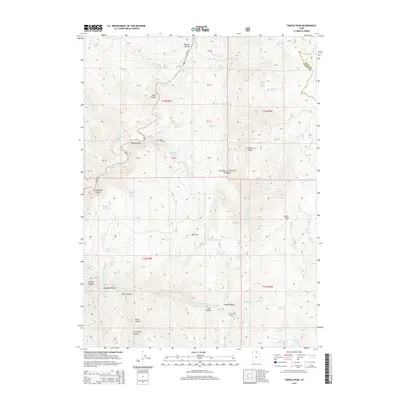
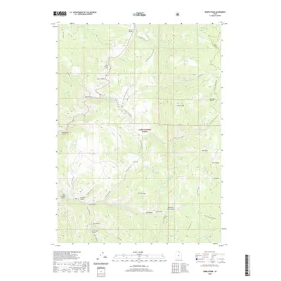
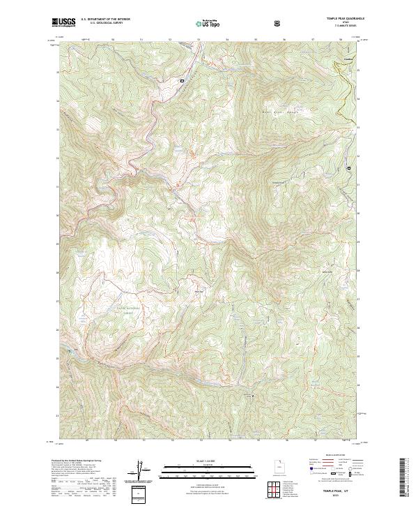
1969 Temple Peak
Cache County, UT
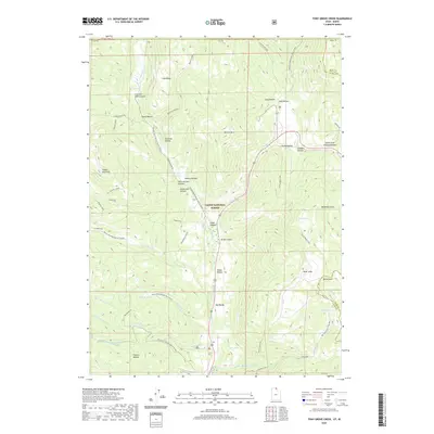
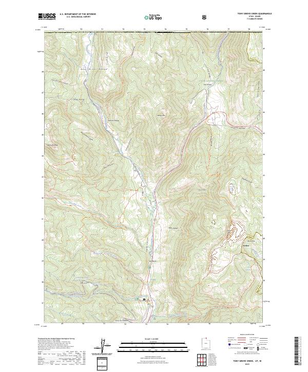
1969 Tony Grove Creek
Cache County, UT
1986 Red Spur Mtn
Cache County, UT
1991 James Peak
Cache County, UT
1991 Monte Cristo Peak
Cache County, UT
1991 Mount Pisgah
Cache County, UT
1991 Sharp Mountain
Cache County, UT
1998 Boulder Mountain
Cache County, UT
1998 Curtis Ridge
Cache County, UT
1998 Hardware Ranch
Cache County, UT
1998 James Peak
Cache County, UT
1998 Logan Peak
Cache County, UT
1998 Monte Cristo Peak
Cache County, UT
1998 Mount Elmer
Cache County, UT
1998 Mount Pisgah
Cache County, UT
1998 Naomi Peak
Cache County, UT
1998 Porcupine Reservoir
Cache County, UT
1998 Red Spur Mountain
Cache County, UT
1998 Sharp Mountain
Cache County, UT
1998 Temple Peak
Cache County, UT
1998 Tony Grove Creek
Cache County, UT
2011 Boulder Mountain
Cache County, UT
2011 Curtis Ridge
Cache County, UT
2011 Hardware Ranch
Cache County, UT

2011 James Peak
Cache County, UT

2011 Logan Peak
Cache County, UT
2011 Monte Cristo Peak
Cache County, UT

2011 Mount Elmer
Cache County, UT
2011 Mount Pisgah
Cache County, UT
2011 Naomi Peak
Cache County, UT
2011 Porcupine Reservoir
Cache County, UT
2011 Red Spur Mountain
Cache County, UT
2011 Sharp Mountain
Cache County, UT

2011 Temple Peak
Cache County, UT
2011 Tony Grove Creek
Cache County, UT
2014 Boulder Mountain
Cache County, UT
2014 Curtis Ridge
Cache County, UT
2014 Hardware Ranch
Cache County, UT
2014 James Peak
Cache County, UT
2014 Logan Peak
Cache County, UT
2014 Monte Cristo Peak
Cache County, UT
2014 Mount Elmer
Cache County, UT
2014 Mount Pisgah
Cache County, UT
2014 Naomi Peak
Cache County, UT
2014 Porcupine Reservoir
Cache County, UT
2014 Red Spur Mountain
Cache County, UT
2014 Sharp Mountain
Cache County, UT
2014 Temple Peak
Cache County, UT
2014 Tony Grove Creek
Cache County, UT
2017 Boulder Mountain
Cache County, UT
2017 Curtis Ridge
Cache County, UT
2017 Hardware Ranch
Cache County, UT
2017 James Peak
Cache County, UT
2017 Logan Peak
Cache County, UT
2017 Monte Cristo Peak
Cache County, UT

2017 Mount Elmer
Cache County, UT
2017 Mount Pisgah
Cache County, UT
2017 Naomi Peak
Cache County, UT
2017 Porcupine Reservoir
Cache County, UT
2017 Red Spur Mountain
Cache County, UT
2017 Sharp Mountain
Cache County, UT
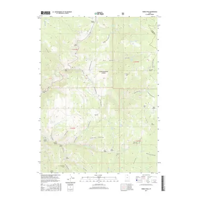
2017 Temple Peak
Cache County, UT
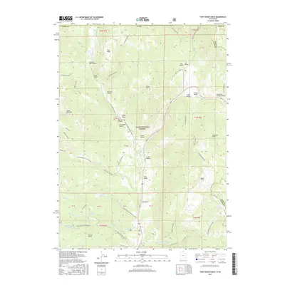
2017 Tony Grove Creek
Cache County, UT
2020 Boulder Mountain
Cache County, UT

2020 Curtis Ridge
Cache County, UT
2020 Hardware Ranch
Cache County, UT
2020 James Peak
Cache County, UT
2020 Logan Peak
Cache County, UT
2020 Monte Cristo Peak
Cache County, UT
2020 Mount Elmer
Cache County, UT
2020 Mount Pisgah
Cache County, UT
2020 Naomi Peak
Cache County, UT
2020 Porcupine Reservoir
Cache County, UT
2020 Red Spur Mountain
Cache County, UT
2020 Sharp Mountain
Cache County, UT
2020 Temple Peak
Cache County, UT
2020 Tony Grove Creek
Cache County, UT
2023 Boulder Mountain
Cache County, UT
2023 Curtis Ridge
Cache County, UT
2023 Hardware Ranch
Cache County, UT
2023 James Peak
Cache County, UT
2023 Logan Peak
Cache County, UT
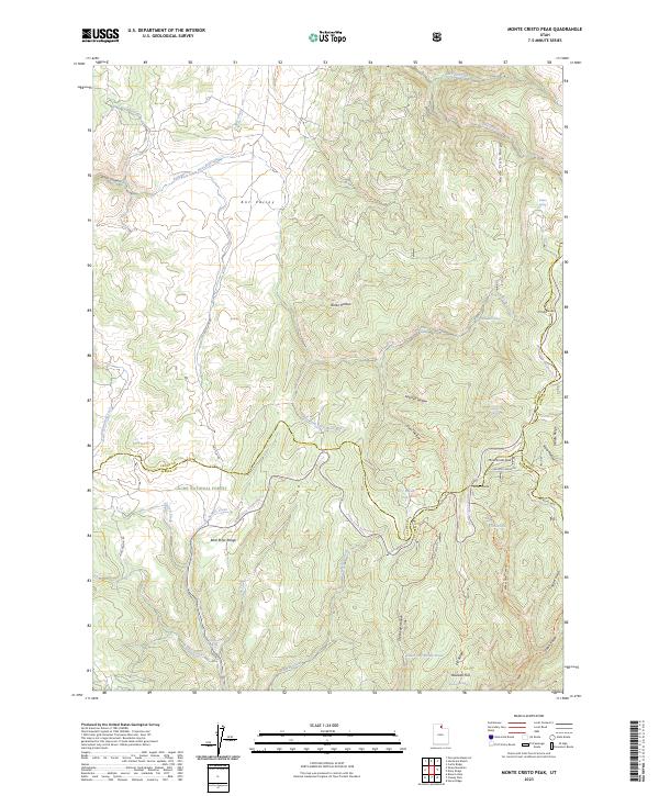
2023 Monte Cristo Peak
Cache County, UT
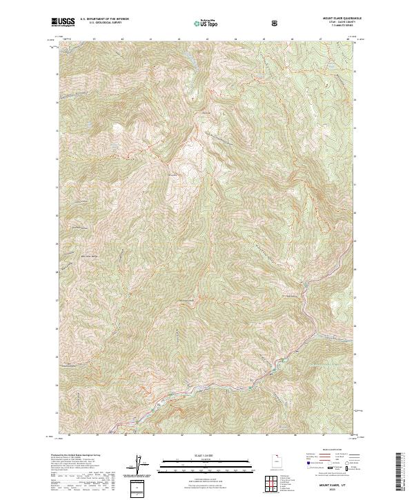
2023 Mount Elmer
Cache County, UT
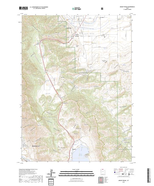
2023 Mount Pisgah
Cache County, UT
2023 Naomi Peak
Cache County, UT
2023 Porcupine Reservoir
Cache County, UT
2023 Red Spur Mountain
Cache County, UT
2023 Sharp Mountain
Cache County, UT
2023 Temple Peak
Cache County, UT
2023 Tony Grove Creek
Cache County, UT