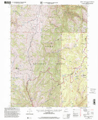
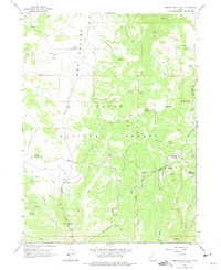
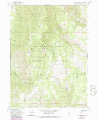
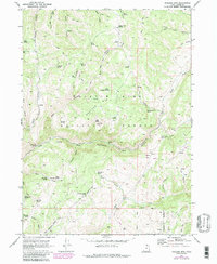
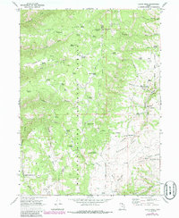
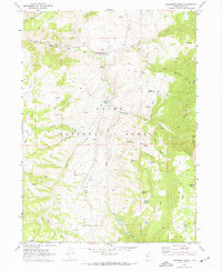
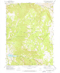
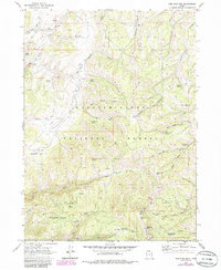
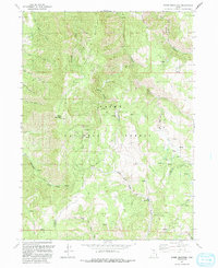
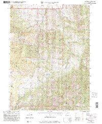
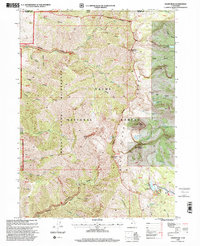
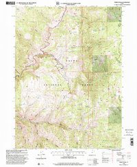
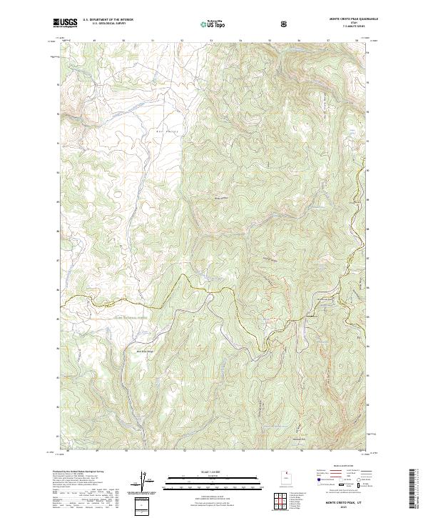
1998 Map of Monte Cristo Peak
USGS Topo · Published 2001About this map
Monte Cristo Peak serves as a prominent landmark on this high-altitude survey of the Monte Cristo Range, where the borders of Cache, Rich, and Weber counties converge. The landscape is a network of deep drainages and upland flats, including Ant Flat and Bluebell Flat, which have long defined the movement of people and livestock through the Cache National Forest. Numerous named springs like Little Monte Springs and Harriet Spring are scattered across the terrain, indicating the vital water sources required for high-country grazing.
Find a feature on this map
38 named features on this map. Tap any name to fly to it.
Don’t see what you’re looking for? This feature index may not catch every label — zoom into the map to look around manually.
Map Details
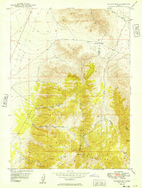
Editions of this 1998 Monte Cristo Peak Map
This is the sole edition of this map. No revisions or reprints were ever made.
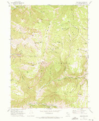
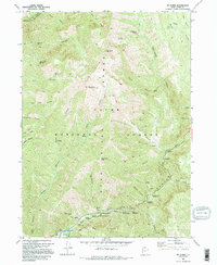
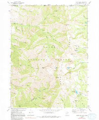
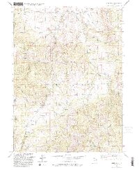
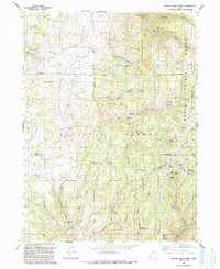
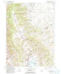
Historical Maps of Weber County Through Time
48 maps found
1949 Boulter Mts
Cache County, UT
1955 James Peak
Cache County, UT
1955 Mount Pisgah
Cache County, UT
1964 Monte Cristo PK
Cache County, UT
1964 Sharp Mountain
Cache County, UT
1969 Boulder Mtn
Cache County, UT
1969 Curtis Ridge
Cache County, UT
1969 Hardware Ranch
Cache County, UT
1969 Logan Peak
Cache County, UT
1969 Mt. Elmer
Cache County, UT
1969 Naomi Peak
Cache County, UT
1969 Porcupine Reservoir
Cache County, UT
1969 Red Spur Mtn
Cache County, UT
1969 Temple Peak
Cache County, UT
1969 Tony Grove Creek
Cache County, UT
1986 Red Spur Mtn
Cache County, UT
1991 James Peak
Cache County, UT
1991 Monte Cristo Peak
Cache County, UT
1991 Mount Pisgah
Cache County, UT
1991 Sharp Mountain
Cache County, UT
1998 Boulder Mountain
Cache County, UT
1998 Curtis Ridge
Cache County, UT
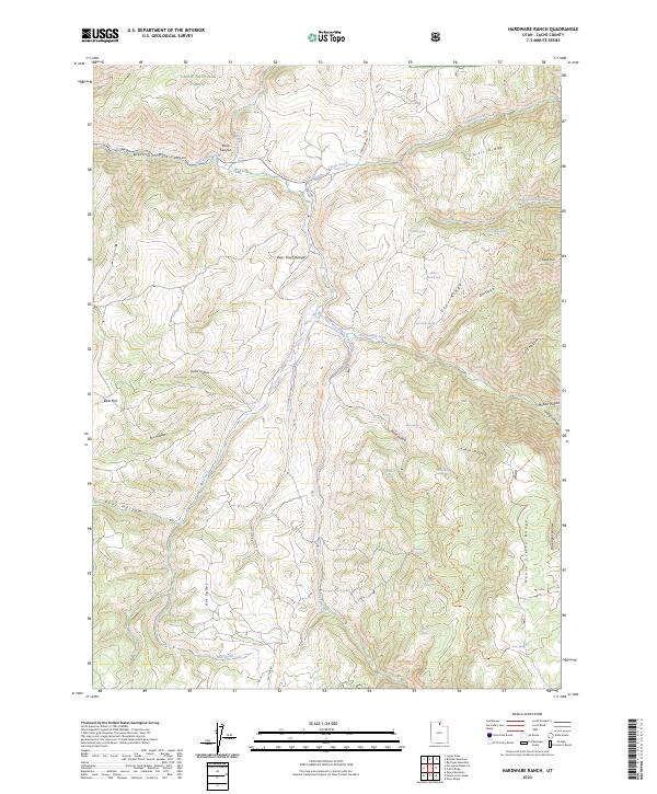
1998 Hardware Ranch
Cache County, UT
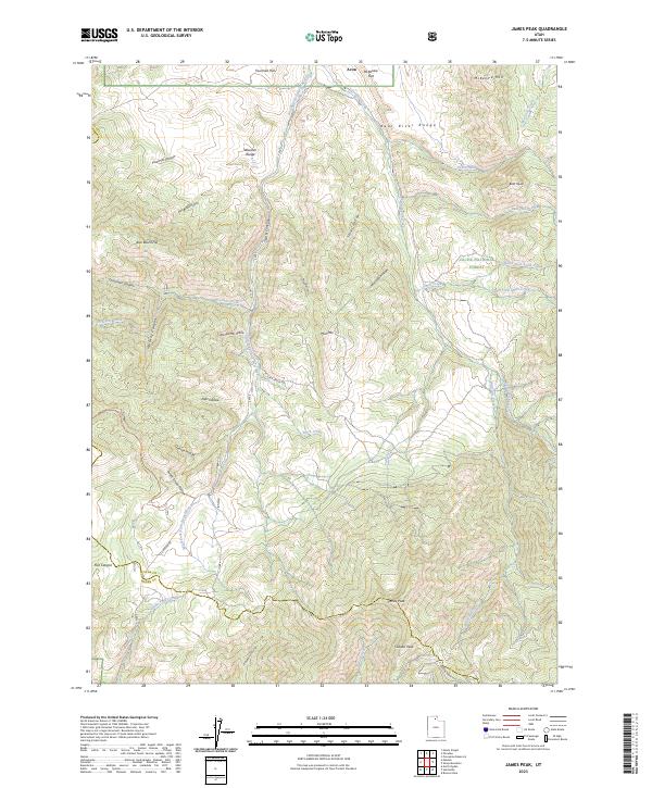
1998 James Peak
Cache County, UT
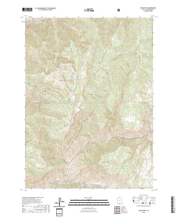
1998 Logan Peak
Cache County, UT
1998 Monte Cristo Peak
Cache County, UT
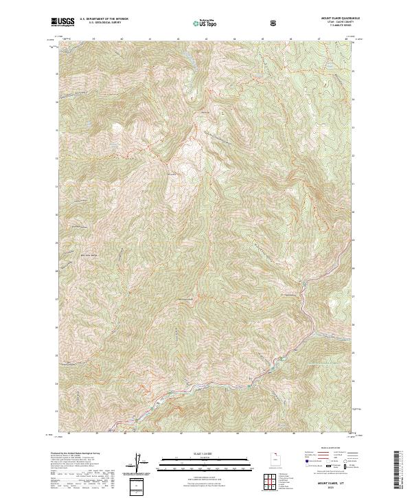
1998 Mount Elmer
Cache County, UT
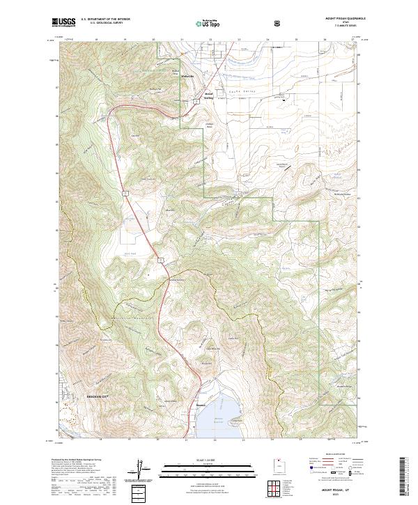
1998 Mount Pisgah
Cache County, UT
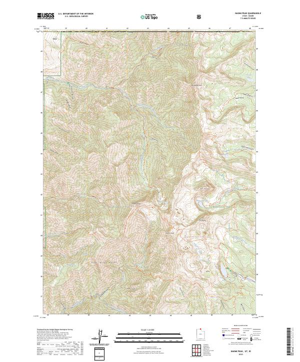
1998 Naomi Peak
Cache County, UT
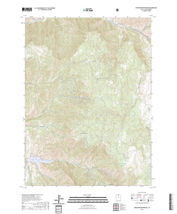
1998 Porcupine Reservoir
Cache County, UT
1998 Red Spur Mountain
Cache County, UT
1998 Sharp Mountain
Cache County, UT
1998 Temple Peak
Cache County, UT
1998 Tony Grove Creek
Cache County, UT
2023 Boulder Mountain
Cache County, UT
2023 Curtis Ridge
Cache County, UT
2023 Hardware Ranch
Cache County, UT
2023 James Peak
Cache County, UT
2023 Logan Peak
Cache County, UT
2023 Monte Cristo Peak
Cache County, UT
2023 Mount Elmer
Cache County, UT
2023 Mount Pisgah
Cache County, UT
2023 Naomi Peak
Cache County, UT
2023 Porcupine Reservoir
Cache County, UT
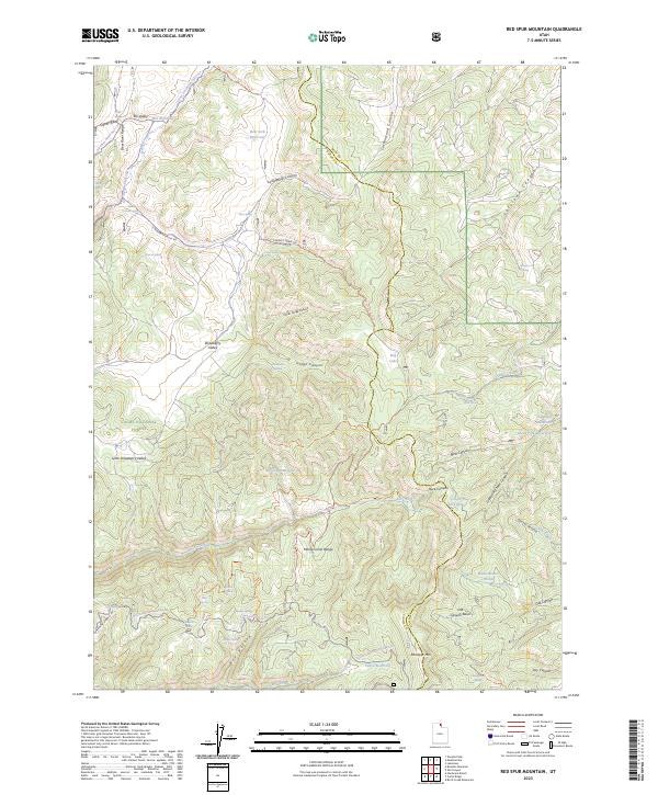
2023 Red Spur Mountain
Cache County, UT
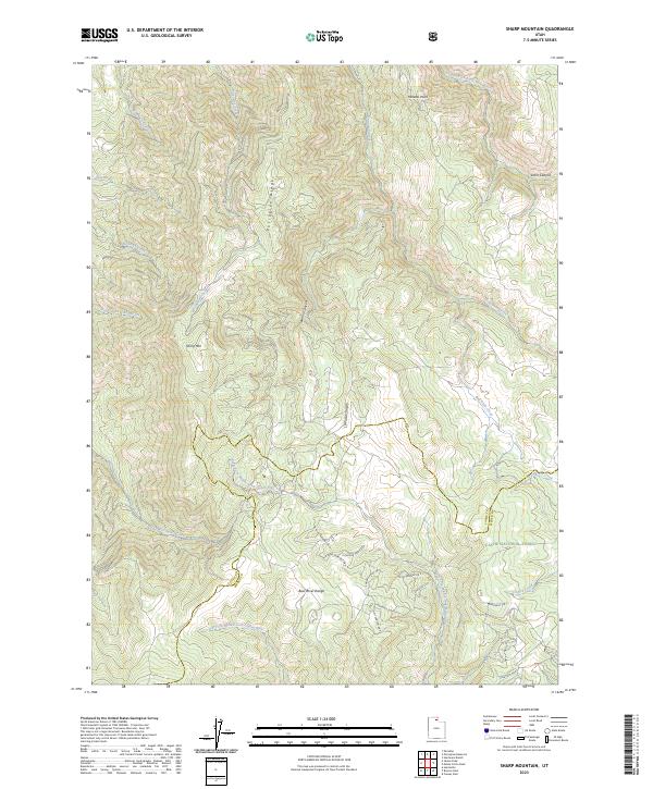
2023 Sharp Mountain
Cache County, UT
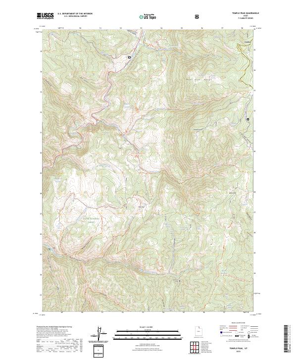
2023 Temple Peak
Cache County, UT
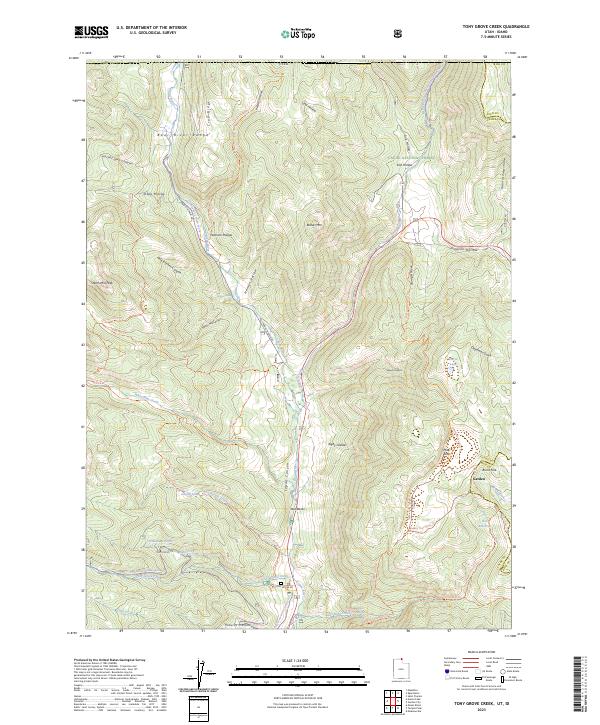
2023 Tony Grove Creek
Cache County, UT