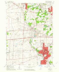
1962 Map of Naperville
USGS Topo · Published 1964About this map
The West Branch Du Page River winds through a landscape undergoing rapid suburban transformation, anchored by the historic educational and religious institutions of Naperville and Wheaton. In Naperville, the campus of North Central College sits at the heart of the community, surrounded by a dense grid of streets like Washington St and Chicago Ave. To the north, the sprawling grounds of the Winfield Sanitarium and the Franciscan Convent reflect the specialized land use of the era, while the U S Military Reservation occupies a significant tract near Warrenville.
Find a feature on this map
67 named features on this map. Tap any name to fly to it.
Don’t see what you’re looking for? This feature index may not catch every label — zoom into the map to look around manually.
Map Details
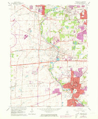
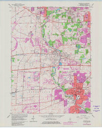
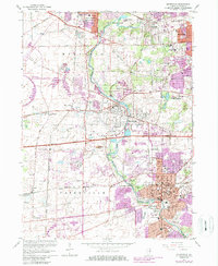
Editions of this 1962 Naperville Map
4 editions found
Other maps of this area

1892 · Joliet
USGS Topo · 1:62,500

1908 · Wheaton
USGS Topo · 1:62,500

1923 · Joliet
USGS Topo · 1:62,500

1925 · Yorkville
USGS Topo · 1:62,500

1932 · Geneva
USGS Topo · 1:62,500

1948 · Wheaton
USGS Topo · 1:62,500

1948 · Geneva
USGS Topo · 1:62,500

1949 · Geneva
USGS Topo · 1:24,000

1950 · Aurora North
USGS Topo · 1:24,000

1953 · Naperville
USGS Topo · 1:24,000