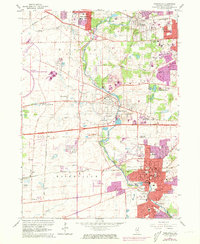
1962 Map of Naperville
USGS Topo · Published 1973About this map
The West Branch Du Page River winds south through the heart of this DuPage County landscape, serving as a corridor for early settlement and modern suburban expansion. The community of Naperville is highly developed here, anchored by North Central College and the Naperville Cem. To the west, the infrastructure of the National Accelerator Laboratory dominates a broad section of former farmland, while the Burlington Northern railroad links the grain-handling area near Eola to the growing urban centers.
Find a feature on this map
52 named features on this map. Tap any name to fly to it.
Don’t see what you’re looking for? This feature index may not catch every label — zoom into the map to look around manually.
Map Details
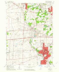
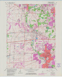
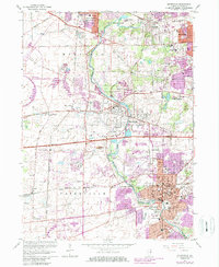
Editions of this 1962 Naperville Map
4 editions found
Other maps of this area

1892 · Joliet
USGS Topo · 1:62,500

1908 · Wheaton
USGS Topo · 1:62,500

1923 · Joliet
USGS Topo · 1:62,500

1925 · Yorkville
USGS Topo · 1:62,500

1932 · Geneva
USGS Topo · 1:62,500

1948 · Wheaton
USGS Topo · 1:62,500

1948 · Geneva
USGS Topo · 1:62,500

1949 · Geneva
USGS Topo · 1:24,000

1950 · Aurora North
USGS Topo · 1:24,000

1953 · Naperville
USGS Topo · 1:24,000