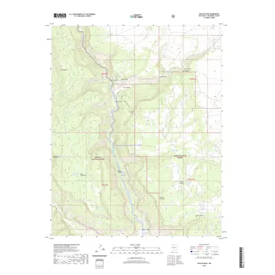
2020 Map of Navajo Peak
USGS Topo · Published 2020About this map
The Rio Chama Wild and Scenic River carves a central path through this northern New Mexico landscape, serving as a boundary between the Santa Fe National Forest and Carson National Forest. The topography is defined by high tablelands and deep drainages, including the prominent Mesa de los Viejos and Mesa Golondrina. Named peaks like Navajo Peak and geological features such as The Hogback rise above a network of canyons, including Huckbay Canyon and Chavez Canyon.
Find a feature on this map
39 named features on this map. Tap any name to fly to it.
Don’t see what you’re looking for? This feature index may not catch every label — zoom into the map to look around manually.
Map Details
Editions of this 2020 Navajo Peak Map
This is the sole edition of this map. No revisions or reprints were ever made.
Other maps of this area

1909 · Gallina
USGS Topo · 1:125,000

1953 · Alire
USGS Topo · 1:24,000

1953 · Echo Ampitheater
USGS Topo · 1:24,000

1953 · Laguna Peak
USGS Topo · 1:24,000

1953 · Navajo Peak
USGS Topo · 1:24,000

1954 · Aztec
USGS Topo · 1:250,000

1955 · Llaves
USGS Topo · 1:62,500

1955 · Tierra Amarilla
USGS Topo · 1:62,500

1955 · Boulder Lake
USGS Topo · 1:62,500

1958 · Aztec
USGS Topo · 1:250,000