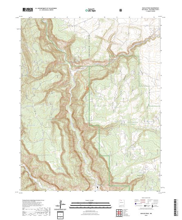
2023 Map of Navajo Peak
USGS Topo · Published 2023About this map
Rio Chama flows through the center of this terrain, carving the deep Chama Canyon as it winds between high plateaus. The landscape is defined by the massive elevations of Mesa de los Viejos and Mesa Golondrina, which dominate the eastern and southern portions of the territory. This area, divided between the Santa Fe National Forest and Carson National Forest, shows a sophisticated network of water management features including Tule Tank, Dead Deer Tank, and Surgent Tank. Near the southern bend of the river, the Abbey of Christ in the Desert Cem sits as a lonely landmark of human presence. Remote trails like the Hart Canyon Trl provide access to the high country near Navajo Peak, while The Hogback forms a sharp geological spine along the western edge.
Find a feature on this map
40 named features on this map. Tap any name to fly to it.
Don’t see what you’re looking for? This feature index may not catch every label — zoom into the map to look around manually.
Map Details
Editions of this 2023 Navajo Peak Map
This is the sole edition of this map. No revisions or reprints were ever made.
Other maps of this area

1909 · Gallina
USGS Topo · 1:125,000

1953 · Alire
USGS Topo · 1:24,000

1953 · Echo Ampitheater
USGS Topo · 1:24,000

1953 · Laguna Peak
USGS Topo · 1:24,000

1953 · Navajo Peak
USGS Topo · 1:24,000

1954 · Aztec
USGS Topo · 1:250,000

1955 · Llaves
USGS Topo · 1:62,500

1955 · Tierra Amarilla
USGS Topo · 1:62,500

1955 · Boulder Lake
USGS Topo · 1:62,500

1958 · Aztec
USGS Topo · 1:250,000