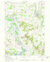
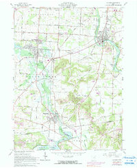
1961 Map of Navarre
USGS Topo · Published 1972About this map
Beach City Reservoir and the winding Tuscarawas River dominate this landscape, where the convergence of industrial rail and rural farming is clearly visible. The region is served by the Norfolk and Western and the Baltimore and Ohio railroads, which connect established centers like Navarre and Brewster to outlying hamlets such as Justus and Elton. This survey captures a period of land use characterized by both resource extraction and conservation, with several Strip Mines and Mine Dump sites operating near the protected grounds of the Muskingum Watershed Conservancy District.
Find a feature on this map
74 named features on this map. Tap any name to fly to it.
Don’t see what you’re looking for? This feature index may not catch every label — zoom into the map to look around manually.
Map Details
Editions of this 1961 Navarre Map
5 editions found
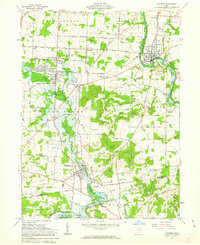
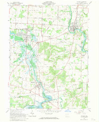
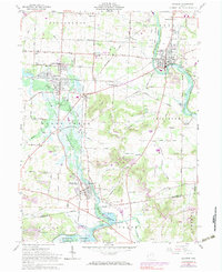
Other maps of this area

1901 · Massillon
USGS Topo · 1:62,500

1901 · Canton
USGS Topo · 1:62,500

1903 · Massillon
USGS Topo · 1:62,500

1903 · Canton
USGS Topo · 1:62,500

1912 · Dover
USGS Topo · 1:62,500

1914 · Navarre
USGS Topo · 1:62,500

1944 · Navarre
USGS Topo · 1:62,500

1944 · Dover
USGS Topo · 1:62,500

1951 · Canton
USGS Topo · 1:250,000

1951 · Bolivar
USGS Topo · 1:24,000