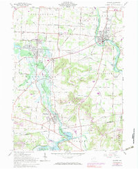
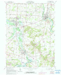
1961 Map of Navarre
USGS Topo · Published 1983About this map
The industrial and agricultural landscape of the Stark and Tuscarawas county border is defined by the heavy presence of rail lines and mining operations during the mid-twentieth century. The Norfolk and Western and Baltimore and Ohio railroads anchor the local economy, connecting settlements like Navarre, Brewster, and Beach City. The southern portion of the map is dominated by the Beach City Reservoir and the Muskingum Watershed Conservancy District, reflecting significant regional water management efforts.
Find a feature on this map
48 named features on this map. Tap any name to fly to it.
Don’t see what you’re looking for? This feature index may not catch every label — zoom into the map to look around manually.
Map Details
Editions of this 1961 Navarre Map
5 editions found
Other maps of this area

1901 · Massillon
USGS Topo · 1:62,500

1901 · Canton
USGS Topo · 1:62,500

1903 · Massillon
USGS Topo · 1:62,500

1903 · Canton
USGS Topo · 1:62,500

1912 · Dover
USGS Topo · 1:62,500

1914 · Navarre
USGS Topo · 1:62,500

1944 · Navarre
USGS Topo · 1:62,500

1944 · Dover
USGS Topo · 1:62,500

1951 · Canton
USGS Topo · 1:250,000

1951 · Bolivar
USGS Topo · 1:24,000