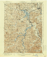
1914 Map of Navarre
USGS Topo · Published 1940About this map
Navarre and the surrounding villages of Brewster and Strasburg anchor this 1914 survey, which reveals a landscape defined by industrial rail lines and significant historical survey markers. The Treaty Line Military Boundary and North Greenville Boundary cut across the terrain, reflecting the early American division of these lands. The region's transport network is highly developed for the era, featuring the Pennsylvania System and the Wheeling and Lake Erie railroads, alongside specialized lines like the Cleveland and Terminal Electric.
Find a feature on this map
110 named features on this map. Tap any name to fly to it.
Don’t see what you’re looking for? This feature index may not catch every label — zoom into the map to look around manually.
Map Details
Editions of this 1914 Navarre Map
2 editions found

Other maps of this area

1901 · Massillon
USGS Topo · 1:62,500

1901 · Canton
USGS Topo · 1:62,500

1901 · Wooster
USGS Topo · 1:62,500

1903 · Massillon
USGS Topo · 1:62,500

1903 · Wooster
USGS Topo · 1:62,500

1903 · Canton
USGS Topo · 1:62,500

1909 · Uhrichsville
USGS Topo · 1:62,500

1911 · Uhrichsville
USGS Topo · 1:62,500

1911 · Newcomerstown
USGS Topo · 1:62,500

1912 · Dover
USGS Topo · 1:62,500