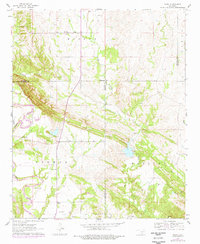
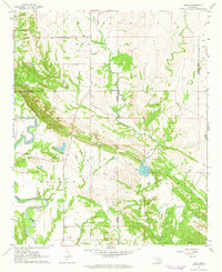
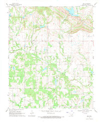
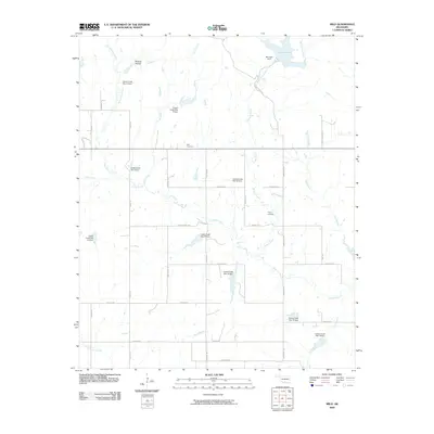
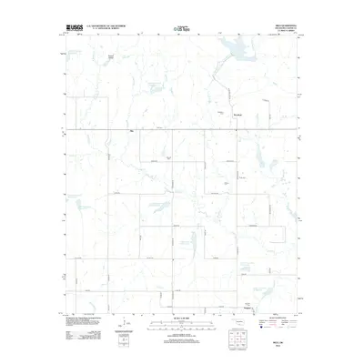
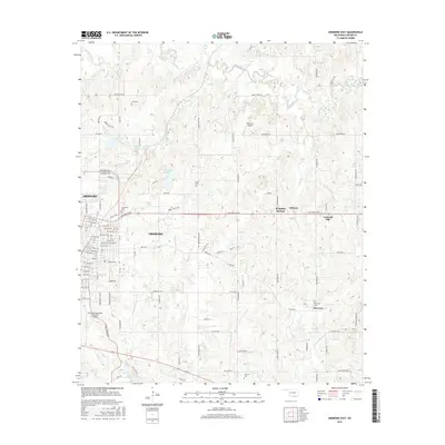
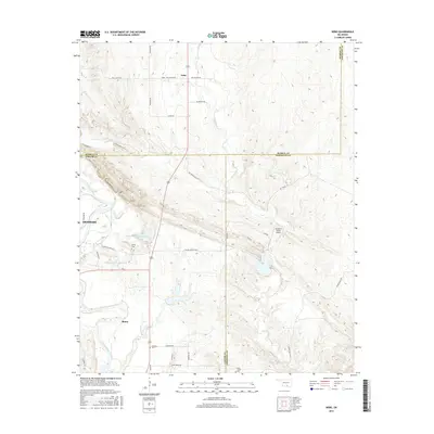
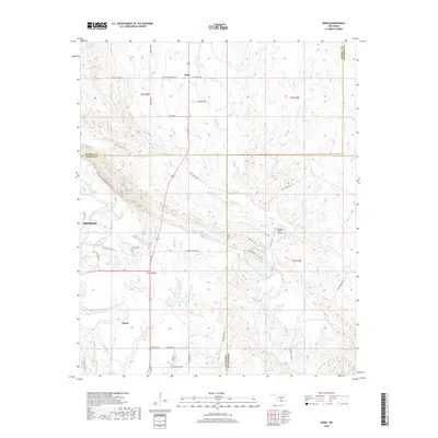
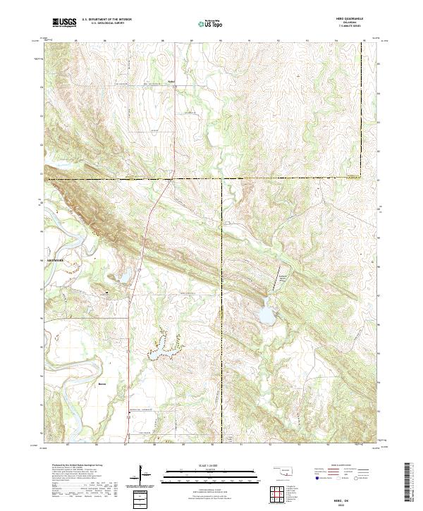
1963 Map of Nebo
USGS Topo · Published 1978About this map
The Washita River carves a dramatic path through this section of south-central Oklahoma, marking the transition from the river valley to the more varied topography of the Morgan and Berwyn districts. Small rural centers like Nebo and Baum anchor the landscape, which is dotted with numerous industrial Gravel Pits and a Quarry, reflecting the local extractive economy. The presence of the Nebo Sch and several family or community burial grounds, including Young Cem, Hutchins Cem, and Lone Cedar Cem, provide essential data points for those tracing early 20th-century family history. Transportation is a mix of traditional water crossings and aviation, featuring the Ardmore Municipal Airport and a secondary Landing Strip further east. Waterways such as Oil Creek, Denmark Creek, and Sycamore Cr define the drainage patterns across the Carter, Murray, and Johnston county lines.
Find a feature on this map
22 named features on this map. Tap any name to fly to it.
Don’t see what you’re looking for? This feature index may not catch every label — zoom into the map to look around manually.
Map Details
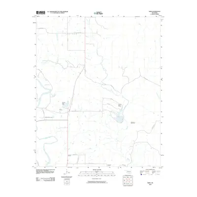
Editions of this 1963 Nebo Map
2 editions found
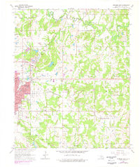
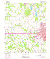
Historical Maps of Ardmore Through Time
30 maps found
1963 Nebo
Carter County, OK
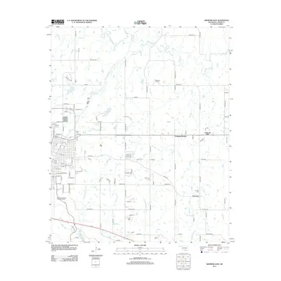
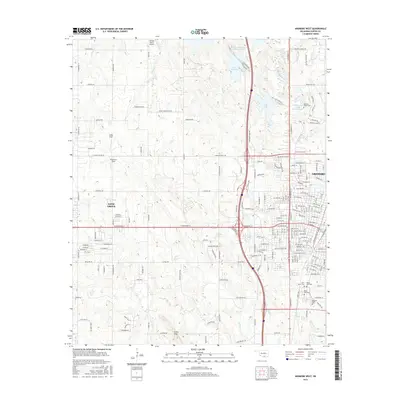
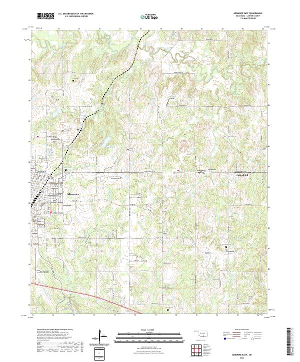
1964 Ardmore East
Carter County, OK
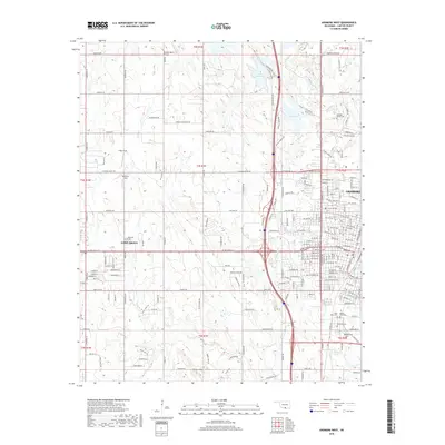
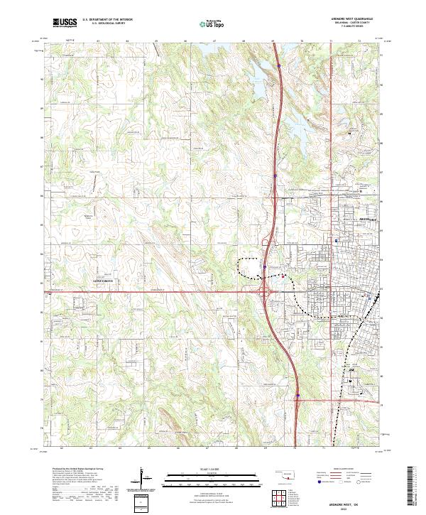
1964 Ardmore West
Carter County, OK
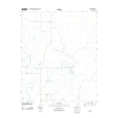
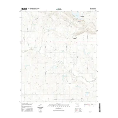
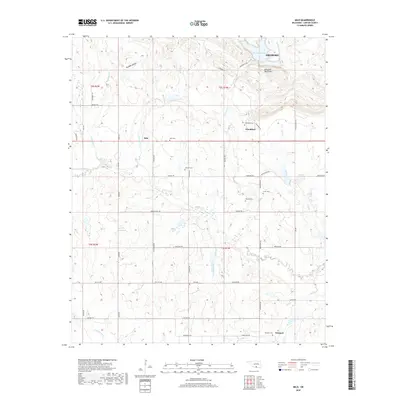
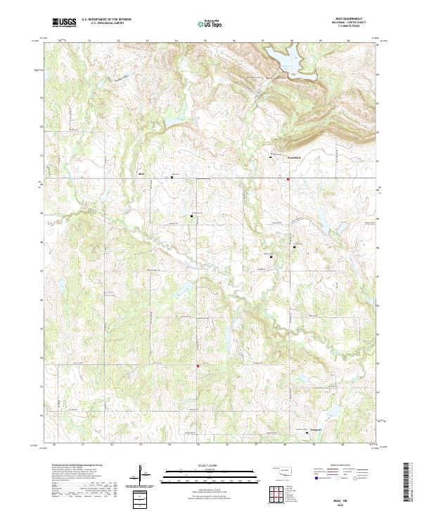
1969 Milo
Carter County, OK
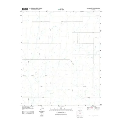
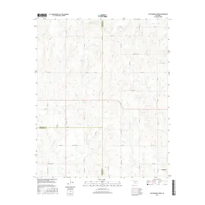
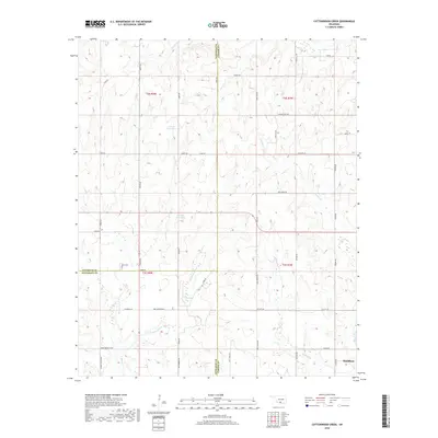
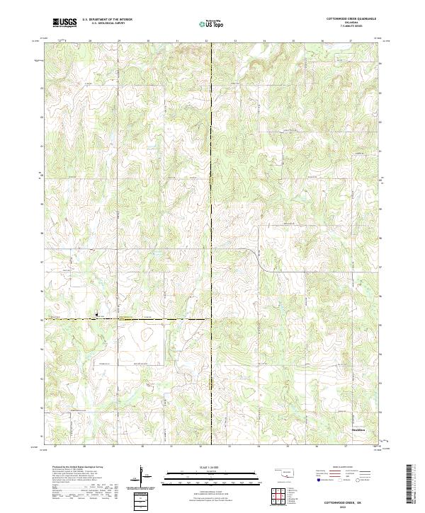
1974 Cottonwood Creek
Carter County, OK
2009 Ardmore East
Carter County, OK
2009 Ardmore West
Carter County, OK
2009 Milo
Carter County, OK
2009 Nebo
Carter County, OK
2010 Cottonwood Creek
Carter County, OK
2012 Ardmore West
Carter County, OK
2012 Cottonwood Creek
Carter County, OK
2012 Milo
Carter County, OK
2013 Ardmore East
Carter County, OK
2013 Nebo
Carter County, OK
2016 Ardmore East
Carter County, OK
2016 Ardmore West
Carter County, OK
2016 Cottonwood Creek
Carter County, OK
2016 Milo
Carter County, OK
2016 Nebo
Carter County, OK

2018 Ardmore East
Carter County, OK
2018 Ardmore West
Carter County, OK
2018 Cottonwood Creek
Carter County, OK
2018 Milo
Carter County, OK
2018 Nebo
Carter County, OK
2022 Ardmore East
Carter County, OK
2022 Ardmore West
Carter County, OK
2022 Cottonwood Creek
Carter County, OK
2022 Milo
Carter County, OK
2022 Nebo
Carter County, OK