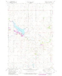
1972 Map of Nelson Lake
USGS Topo · Published 1980About this map
The Milton R Young Power Plant stands as the industrial centerpiece of this Oliver County landscape, situated directly adjacent to Nelson Lake. This artificial reservoir is tied into a complex water management system featuring an Aqueduct and multiple Substations. The region's energy economy is further evidenced by a nearby Strip Mine and a dedicated Landing Strip, illustrating the infrastructure required for large-scale lignite coal power generation in North Dakota during the early 1970s.
Find a feature on this map
11 named features on this map. Tap any name to fly to it.
Don’t see what you’re looking for? This feature index may not catch every label — zoom into the map to look around manually.
Map Details
Editions of this 1972 Nelson Lake Map
2 editions found
Other maps of this area

1954 · Bismarck
USGS Topo · 1:250,000

1954 · McClusky
USGS Topo · 1:250,000

1958 · Bismarck
USGS Topo · 1:250,000

1958 · McClusky
USGS Topo · 1:250,000

1968 · Hannover NE
USGS Topo · 1:24,000

1968 · Fort Clark
USGS Topo · 1:24,000
1968 · Fort Clark NE
USGS Topo · 1:24,000

1970 · New Salem NE
USGS Topo · 1:24,000

1972 · Center
USGS Topo · 1:24,000

1972 · Crown Butte NW
USGS Topo · 1:24,000