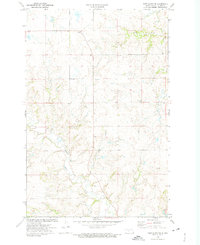
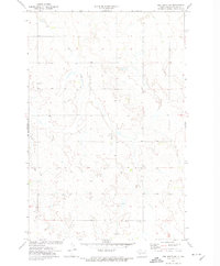
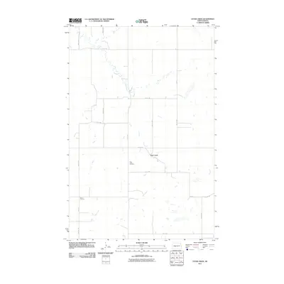
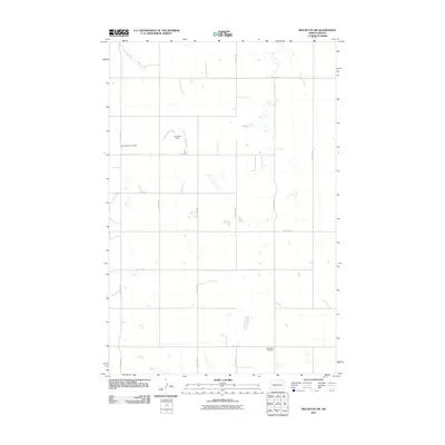
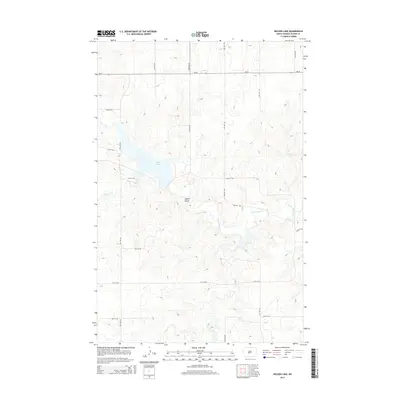
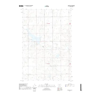
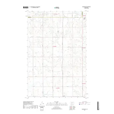
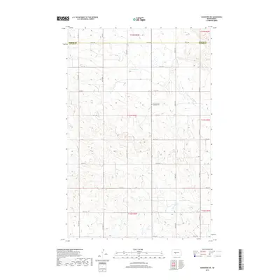
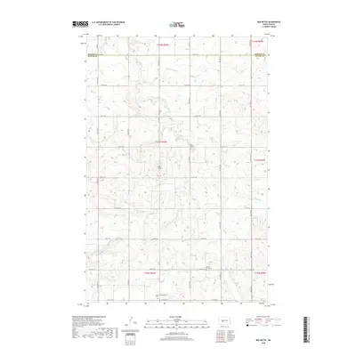
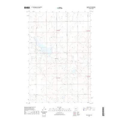
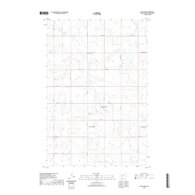
1972 Map of Nelson Lake
USGS Topo · Published 1975About this map
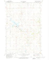
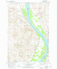
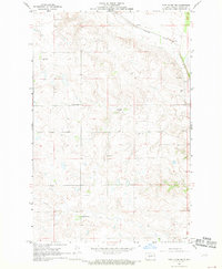
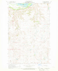
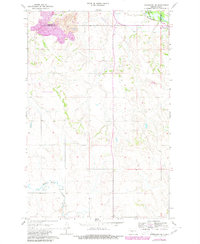
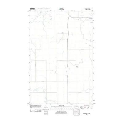
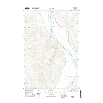
The Milton R Young Powerplant and its adjacent Substation stand as the industrial focal point of this Oliver County landscape during the early 1970s. This facility sits on the eastern shore of Nelson Lake, a reservoir created to support the energy infrastructure of the region. The map documents the heavy industrial footprint of the era, including a nearby Strip Mine and an Aqueduct that cuts across the northern sections.
Find a feature on this map
14 named features on this map. Tap any name to fly to it.
Don’t see what you’re looking for? This feature index may not catch every label — zoom into the map to look around manually.
Map Details
Editions of this 1972 Nelson Lake Map
2 editions found
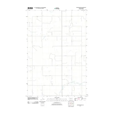
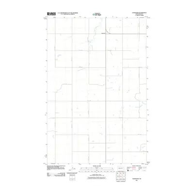
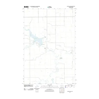
Historical Maps of Oliver County Through Time
72 maps found
1966 Price
Oliver County, ND
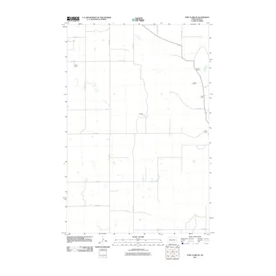
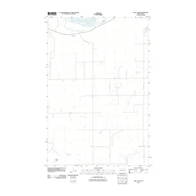
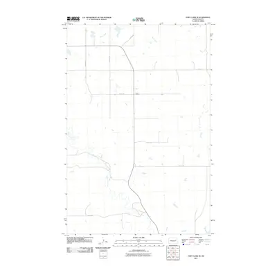
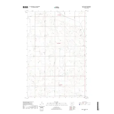
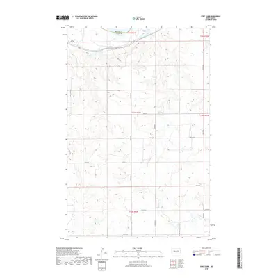
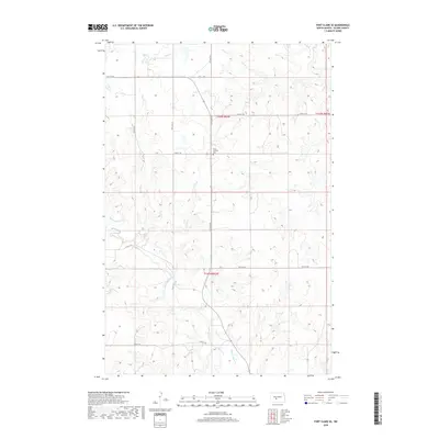
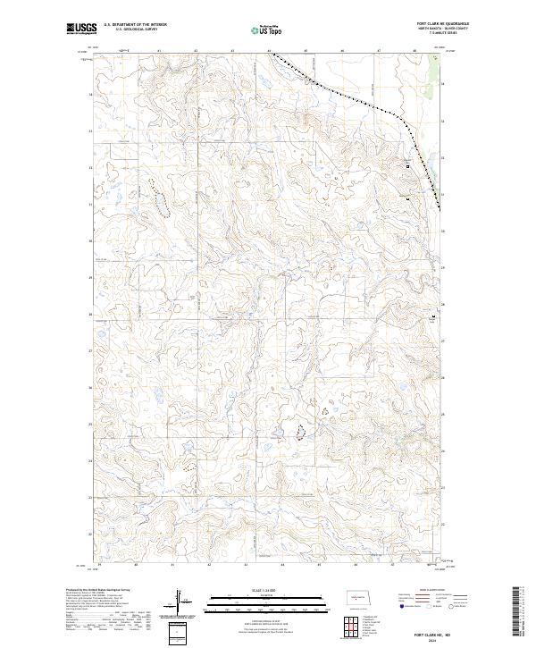
1968 Fort Clark NE
Oliver County, ND
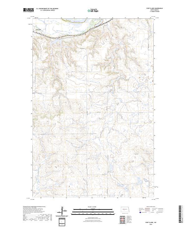
1968 Fort Clark
Oliver County, ND
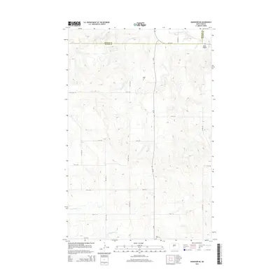
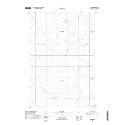
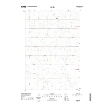
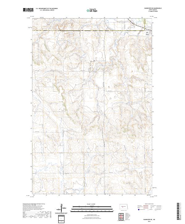
1968 Hannover NE
Oliver County, ND
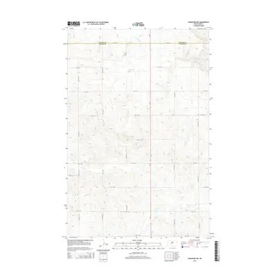
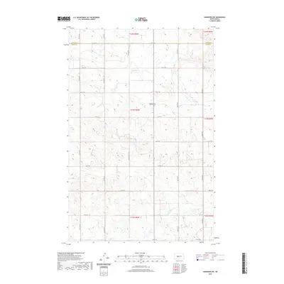
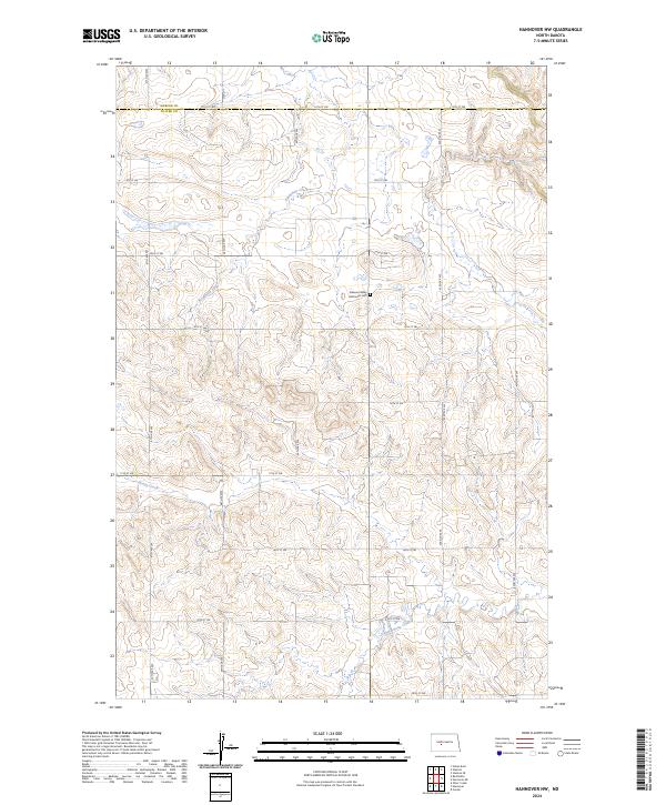
1968 Hannover NW
Oliver County, ND
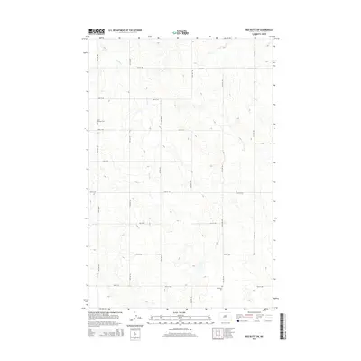
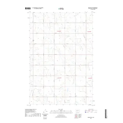
1968 Red Butte NW
Oliver County, ND
1968 Red Butte
Oliver County, ND
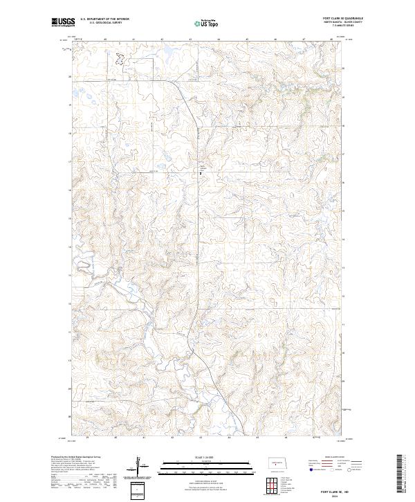
1972 Fort Clark SE
Oliver County, ND
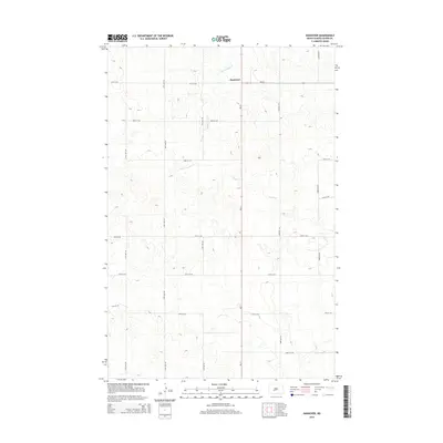
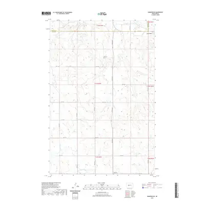
1972 Hannover
Oliver County, ND
1972 Nelson Lake
Oliver County, ND
1972 Otter Creek
Oliver County, ND
1972 Red Butte SW
Oliver County, ND
2011 Fort Clark NE
Oliver County, ND
2011 Fort Clark
Oliver County, ND
2011 Fort Clark SE
Oliver County, ND
2011 Hannover NE
Oliver County, ND
2011 Hannover NW
Oliver County, ND
2011 Hannover
Oliver County, ND
2011 Nelson Lake
Oliver County, ND
2011 Otter Creek
Oliver County, ND
2011 Price
Oliver County, ND
2011 Red Butte NW
Oliver County, ND
2011 Red Butte
Oliver County, ND
2011 Red Butte SW
Oliver County, ND
2014 Fort Clark NE
Oliver County, ND
2014 Fort Clark
Oliver County, ND
2014 Fort Clark SE
Oliver County, ND
2014 Hannover NE
Oliver County, ND
2014 Hannover NW
Oliver County, ND
2014 Hannover
Oliver County, ND
2014 Nelson Lake
Oliver County, ND
2014 Otter Creek
Oliver County, ND
2014 Price
Oliver County, ND
2014 Red Butte NW
Oliver County, ND
2014 Red Butte
Oliver County, ND
2014 Red Butte SW
Oliver County, ND
2017 Fort Clark NE
Oliver County, ND
2017 Hannover
Oliver County, ND
2017 Nelson Lake
Oliver County, ND
2017 Red Butte SW
Oliver County, ND
2018 Fort Clark
Oliver County, ND
2018 Fort Clark SE
Oliver County, ND
2018 Hannover NE
Oliver County, ND
2018 Hannover NW
Oliver County, ND
2018 Otter Creek
Oliver County, ND
2018 Price
Oliver County, ND
2018 Red Butte NW
Oliver County, ND
2018 Red Butte
Oliver County, ND
2020 Fort Clark NE
Oliver County, ND
2020 Fort Clark
Oliver County, ND
2020 Fort Clark SE
Oliver County, ND
2020 Hannover NE
Oliver County, ND
2020 Hannover NW
Oliver County, ND
2020 Hannover
Oliver County, ND
2020 Nelson Lake
Oliver County, ND
2020 Otter Creek
Oliver County, ND

2020 Price
Oliver County, ND
2020 Red Butte NW
Oliver County, ND
2020 Red Butte
Oliver County, ND
2020 Red Butte SW
Oliver County, ND
2024 Fort Clark NE
Oliver County, ND
2024 Fort Clark
Oliver County, ND
2024 Fort Clark SE
Oliver County, ND
2024 Hannover NE
Oliver County, ND
2024 Hannover NW
Oliver County, ND
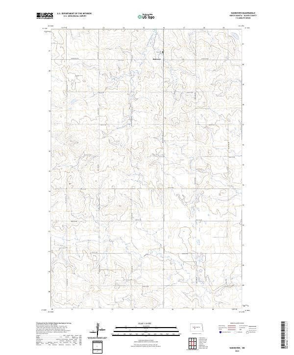
2024 Hannover
Oliver County, ND
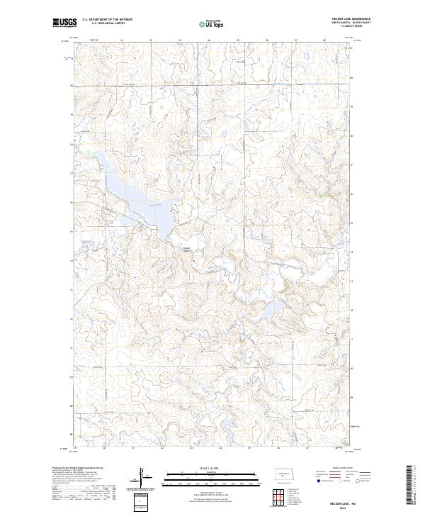
2024 Nelson Lake
Oliver County, ND
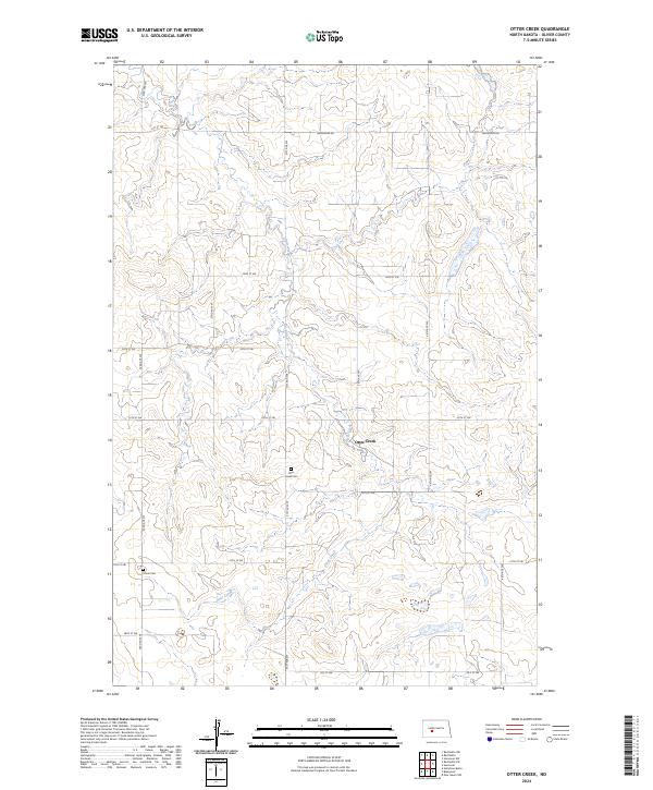
2024 Otter Creek
Oliver County, ND
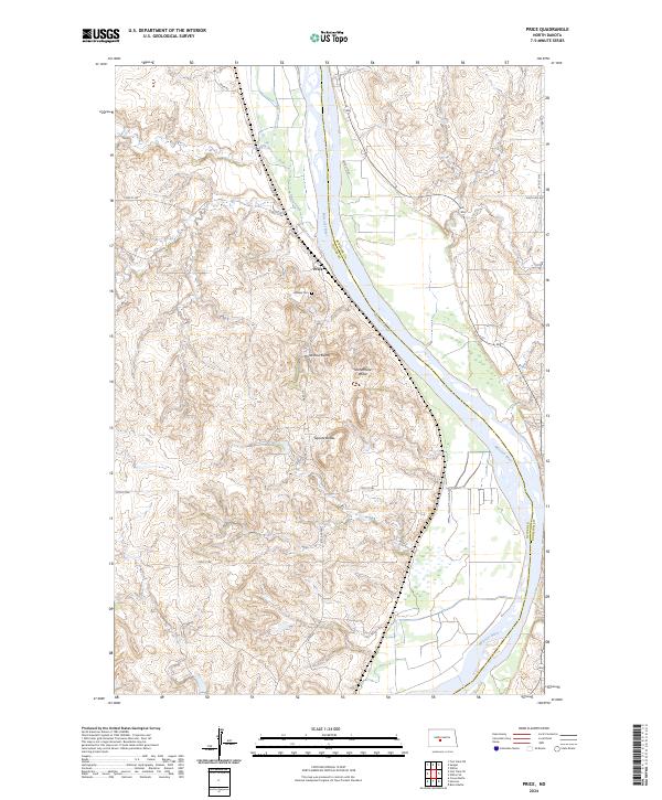
2024 Price
Oliver County, ND
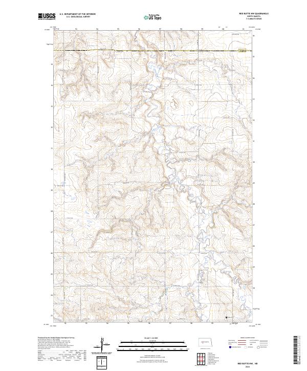
2024 Red Butte NW
Oliver County, ND
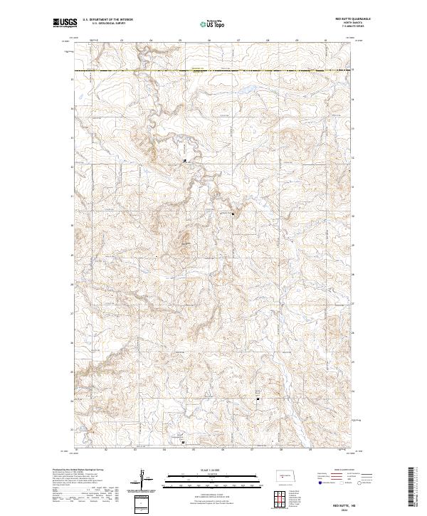
2024 Red Butte
Oliver County, ND
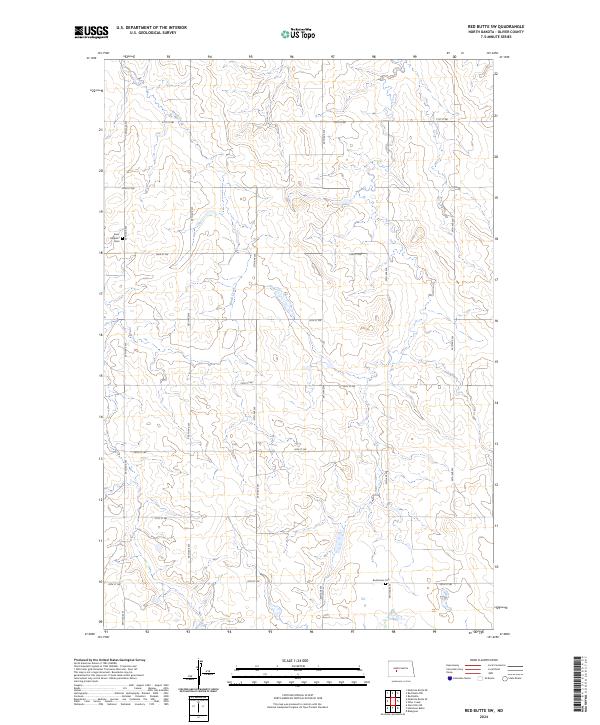
2024 Red Butte SW
Oliver County, ND