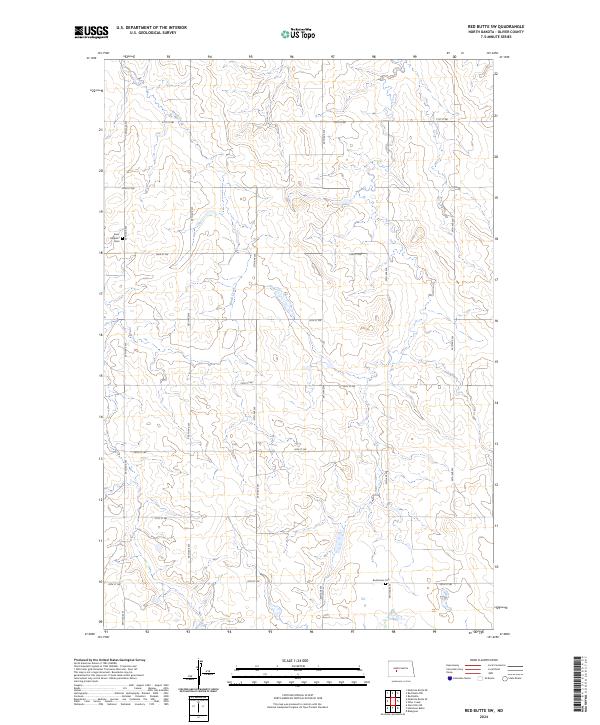
2024 Map of Red Butte SW
USGS Topo · Published 2024About this map
Saint Benedict Cem and Buchmann Cem serve as quiet landmarks within this rural expanse of Oliver County, where the landscape is defined by the winding course of Brush Creek. This 2024 survey documents the highly organized section-line road network of North Dakota, including thoroughfares such as 59th Ave SW and 21st St SW. The terrain transition is marked by subtle elevation changes across townships t142n r87w and t141n r87w, illustrating the agricultural division of the Great Plains. The map provides a clear look at the enduring prairie infrastructure, where long-standing cemeteries remain among the few named historical anchors in an area otherwise characterized by vast open fields and seasonal watercourses.
Find a feature on this map
21 named features on this map. Tap any name to fly to it.
Don’t see what you’re looking for? This feature index may not catch every label — zoom into the map to look around manually.
Map Details
Editions of this 2024 Red Butte SW Map
This is the sole edition of this map. No revisions or reprints were ever made.
Other maps of this area

1954 · Bismarck
USGS Topo · 1:250,000

1954 · McClusky
USGS Topo · 1:250,000

1958 · Bismarck
USGS Topo · 1:250,000

1958 · McClusky
USGS Topo · 1:250,000

1968 · Red Butte
USGS Topo · 1:24,000

1968 · Medicine Butte NE
USGS Topo · 1:24,000

1968 · Red Butte NW
USGS Topo · 1:24,000

1970 · Bluegrass
USGS Topo · 1:24,000

1970 · Hailstone Butte
USGS Topo · 1:24,000

1970 · Glen Ullin NE
USGS Topo · 1:24,000