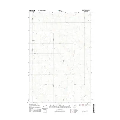
2014 Map of Red Butte SW
USGS Topo · Published 2014About this map
Saint Benedict Cem and Buchmann Cem anchor this 2014 survey of Oliver County, North Dakota, providing essential geographic markers for genealogists and local historians. The landscape is defined by the winding course of Brush Cr, which meanders through a systematic grid of township roads. This grid, composed of thoroughfares such as 59th Ave SW and 21st St SW, reflects the enduring agricultural layout of the Great Plains. The sparse distribution of named landmarks emphasizes the rural character of the region, where family and parish cemeteries remain the primary identifiers of the historic community footprint amidst the open drainage basins of the Missouri River plateau.
Find a feature on this map
17 named features on this map. Tap any name to fly to it.
Don’t see what you’re looking for? This feature index may not catch every label — zoom into the map to look around manually.
Map Details
Editions of this 2014 Red Butte SW Map
This is the sole edition of this map. No revisions or reprints were ever made.
Other maps of this area

1954 · Bismarck
USGS Topo · 1:250,000

1954 · McClusky
USGS Topo · 1:250,000

1958 · Bismarck
USGS Topo · 1:250,000

1958 · McClusky
USGS Topo · 1:250,000

1968 · Red Butte
USGS Topo · 1:24,000

1968 · Medicine Butte NE
USGS Topo · 1:24,000

1968 · Red Butte NW
USGS Topo · 1:24,000

1970 · Bluegrass
USGS Topo · 1:24,000

1970 · Hailstone Butte
USGS Topo · 1:24,000

1970 · Glen Ullin NE
USGS Topo · 1:24,000