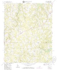
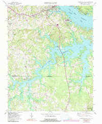
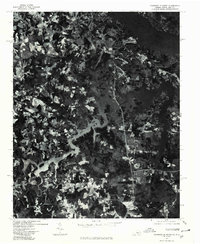
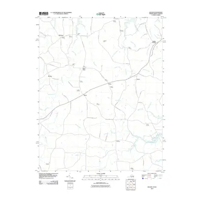
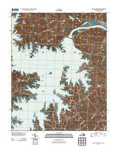
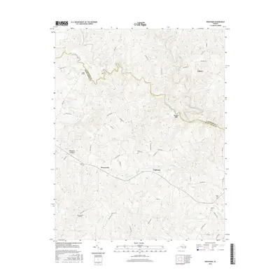
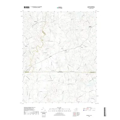
1968 Map of Nelson
USGS Topo · Published 1985About this map
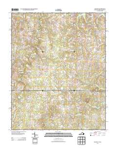
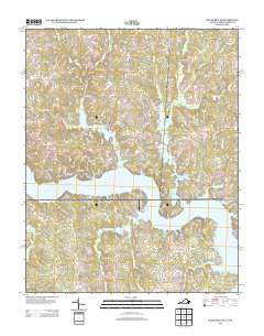
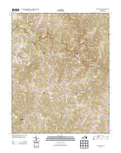
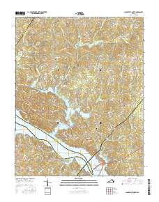
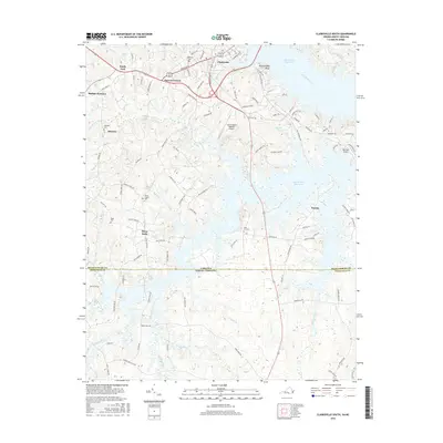
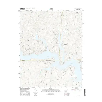
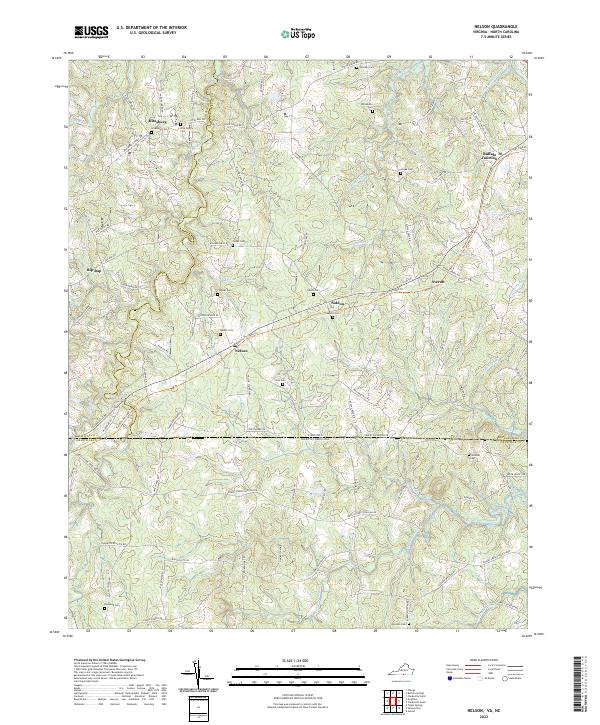
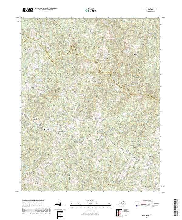
Nelson and Buffalo Junction anchor this rural landscape straddling the state line where the Piedmont begins its roll toward the coast. The terrain is defined by a dense network of tributaries including Buffalo Creek, Aarons Creek, and Johnson Creek, all feeding toward the extensive John H Kerr Reservoir visible at the margins. This era captures the critical infrastructure of the Norfolk and Western and the Danville and Franklin RR, which provided the primary industrial pulse for small communities like Averett and Siddon. Local history is preserved through numerous rural landmarks, from Hebron Ch and Amis Chapel to the Wharton Memorial Br. The map also clearly delineates the complex county boundaries where Mecklenburg Co, Halifax Co, and North Carolina's Granville Co converge amidst the wooded ridges and creek bottoms.
Find a feature on this map
38 named features on this map. Tap any name to fly to it.
Don’t see what you’re looking for? This feature index may not catch every label — zoom into the map to look around manually.
Map Details
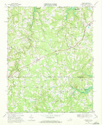
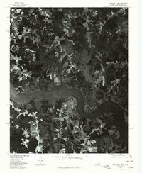
Editions of this 1968 Nelson Map
3 editions found
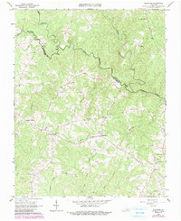
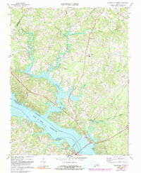
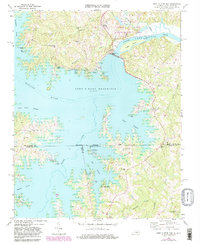
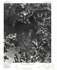
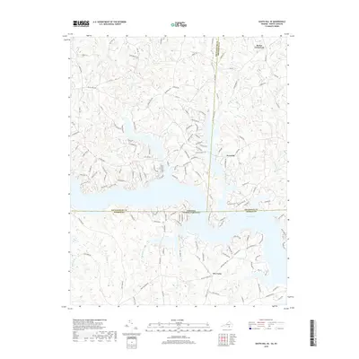
Historical Maps of Buffalo Junction Through Time
40 maps found
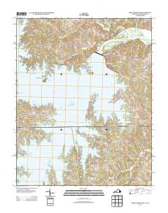
1966 Wightman
Mecklenburg County, VA
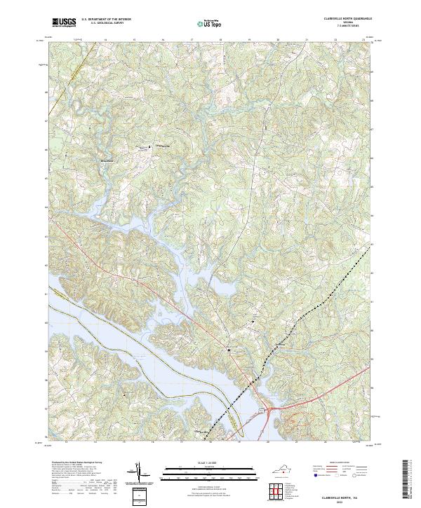
1968 Clarksville North
Mecklenburg County, VA
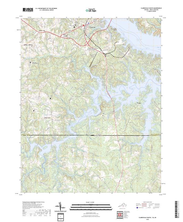
1968 Clarksville South
Mecklenburg County, VA
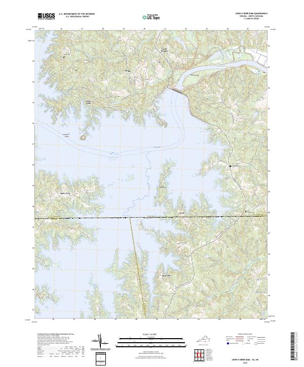
1968 John H Kerr Dam
Mecklenburg County, VA

1968 Nelson
Mecklenburg County, VA
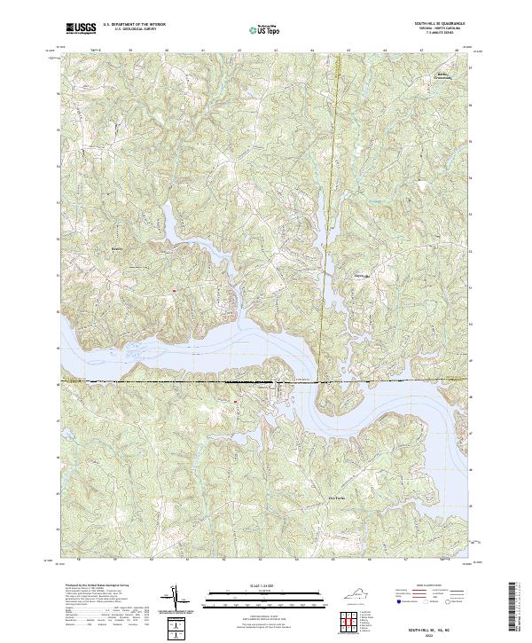
1968 South Hill SE
Mecklenburg County, VA
1968 Tungsten
Mecklenburg County, VA
1977 Clarksville South
Mecklenburg County, VA
1977 John H Kerr Dam
Mecklenburg County, VA
1977 South Hill SE
Mecklenburg County, VA
2010 Clarksville North
Mecklenburg County, VA
2010 Nelson
Mecklenburg County, VA
2010 South Hill SE
Mecklenburg County, VA
2010 Wightman
Mecklenburg County, VA
2011 Clarksville South
Mecklenburg County, VA
2011 John H Kerr Dam
Mecklenburg County, VA
2013 Clarksville North
Mecklenburg County, VA
2013 Clarksville South
Mecklenburg County, VA
2013 John H Kerr Dam
Mecklenburg County, VA
2013 Nelson
Mecklenburg County, VA
2013 South Hill SE
Mecklenburg County, VA
2013 Wightman
Mecklenburg County, VA
2016 Clarksville North
Mecklenburg County, VA
2016 Clarksville South
Mecklenburg County, VA
2016 John H Kerr Dam
Mecklenburg County, VA
2016 Nelson
Mecklenburg County, VA
2016 South Hill SE
Mecklenburg County, VA
2016 Wightman
Mecklenburg County, VA
2019 Clarksville North
Mecklenburg County, VA
2019 Clarksville South
Mecklenburg County, VA
2019 John H Kerr Dam
Mecklenburg County, VA
2019 Nelson
Mecklenburg County, VA
2019 South Hill SE
Mecklenburg County, VA
2019 Wightman
Mecklenburg County, VA
2022 Clarksville North
Mecklenburg County, VA
2022 Clarksville South
Mecklenburg County, VA
2022 John H Kerr Dam
Mecklenburg County, VA
2022 Nelson
Mecklenburg County, VA
2022 South Hill SE
Mecklenburg County, VA
2022 Wightman
Mecklenburg County, VA