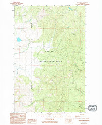
1989 Map of Nespelem NE
USGS Topo · Published 1994About this map
The Colville Indian Reservation landscape is defined by its high-altitude terrain and the network of waterways that cut through the north-central Washington highlands. Stretching across the border of Okanogan and Ferry Counties, this 1989 survey documents a sparsely populated but ecologically distinct area. The Little Nespelem River winds through the western portion of the sheet, while to the east, mountain drainages like Cache Creek, Lime Creek, and Empire Creek feed the regional watershed. Evidence of local industrial activity is found in the scattered Gravel Pit and Gravel Pits locations near the river. This provisional map is particularly useful for visualizing the late 20th-century natural borders and hydrology of the reservation land before more recent landscape changes.
Find a feature on this map
8 named features on this map. Tap any name to fly to it.
Don’t see what you’re looking for? This feature index may not catch every label — zoom into the map to look around manually.
Map Details
Editions of this 1989 Nespelem NE Map
2 editions found
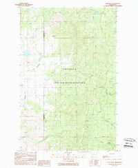
Other maps of this area

1950 · Nespelem
USGS Topo · 1:62,500

1952 · Keller
USGS Topo · 1:62,500

1953 · Seventeenmile Mtn.
USGS Topo · 1:62,500

1953 · Bald Knob
USGS Topo · 1:62,500

1954 · Okanogan
USGS Topo · 1:250,000

1958 · Okanogan
USGS Topo · 1:250,000

1984 · Nespelem
USGS Topo · 1:100,000

1986 · Central Peak
USGS Topo · 1:24,000
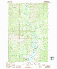
1989 · Keller
USGS Topo · 1:24,000
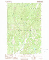
1989 · Stepstone Creek
USGS Topo · 1:24,000