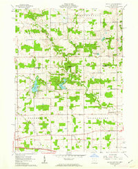
1961 Map of Nettle Lake
USGS Topo · Published 1963About this map
The borderlands of the Ohio-Michigan state line reveal a landscape defined by glacial lakes and headwater streams in the early 1960s. Central to this area is the resort-like character of Nettle Lake, which along with Lake La Su An, provides a focus for local recreation and drainage into Nettle Creek. The map documents a predominantly agrarian interior within Northwest and Bridgewater townships, where small rural hubs like Cooney and Ainger served as community anchors.
Find a feature on this map
39 named features on this map. Tap any name to fly to it.
Don’t see what you’re looking for? This feature index may not catch every label — zoom into the map to look around manually.
Map Details
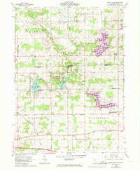
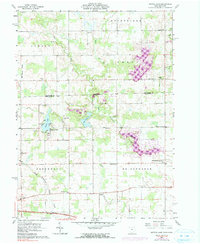
Editions of this 1961 Nettle Lake Map
Other maps of this area

1914 · Pioneer
USGS Topo · 1:62,500

1939 · Clear Lake
USGS Topo · 1:24,000

1940 · Metz
USGS Topo · 1:24,000

1940 · Clear Lake
USGS Topo · 1:24,000

1944 · Pioneer
USGS Topo · 1:62,500

1953 · Fort Wayne
USGS Topo · 1:250,000

1956 · Fort Wayne
USGS Topo · 1:250,000

1959 · Reading
USGS Topo · 1:24,000

1959 · Frontier
USGS Topo · 1:24,000
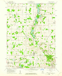
1960 · Camden
USGS Topo · 1:24,000