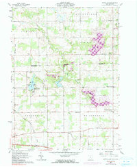
1961 Map of Nettle Lake
USGS Topo · Published 1991About this map
The Michigan-Ohio state line bisects this landscape, where the agricultural plains of Williams County meet the glacial topography of Hillsdale County. The namesake Nettle Lake serves as a central landmark, surrounded by the small settlement of Nettle Lake and its local landmarks like the Nettle Lake Ch. The 1961 data, later updated with 1973 revisions, shows a rural economy defined by scattered farmsteads and a network of country churches including Mt Union Ch and North Bridgewater Ch.
Find a feature on this map
39 named features on this map. Tap any name to fly to it.
Don’t see what you’re looking for? This feature index may not catch every label — zoom into the map to look around manually.
Map Details
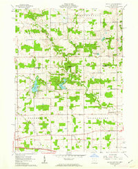
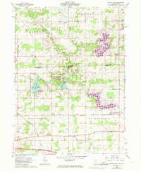
Editions of this 1961 Nettle Lake Map
Other maps of this area

1914 · Pioneer
USGS Topo · 1:62,500

1939 · Clear Lake
USGS Topo · 1:24,000

1940 · Metz
USGS Topo · 1:24,000

1940 · Clear Lake
USGS Topo · 1:24,000

1944 · Pioneer
USGS Topo · 1:62,500

1953 · Fort Wayne
USGS Topo · 1:250,000

1956 · Fort Wayne
USGS Topo · 1:250,000

1959 · Reading
USGS Topo · 1:24,000

1959 · Frontier
USGS Topo · 1:24,000
1960 · Camden
USGS Topo · 1:24,000