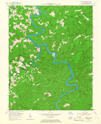
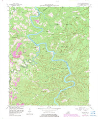
1954 Map of Nevelsville
USGS Topo · Published 1967About this map
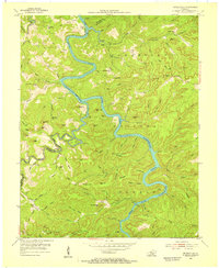
The South Fork Cumberland River winds through the heart of the Cumberland National Forest, marking a rugged landscape of deep hollows and high ridges along the border of Wayne and McCreary counties. In 1954, the region was defined by its scattered rural institutions and small settlements like Nevelsville. The map illustrates a community structure anchored by small landmarks such as Green Grove Ch, Freedom Chapel, and Freedom Sch, reflecting the localized life of these mountain ridges.
Find a feature on this map
100 named features on this map. Tap any name to fly to it.
Don’t see what you’re looking for? This feature index may not catch every label — zoom into the map to look around manually.
Map Details
Editions of this 1954 Nevelsville Map
5 editions found
Other maps of this area

1890 · Williamsburg
USGS Topo · 1:125,000

1894 · Williamsburg
USGS Topo · 1:125,000

1932 · Burnside
USGS Topo · 1:62,500

1934 · Barthell
USGS Topo · 1:62,500

1952 · Hail
USGS Topo · 1:24,000

1952 · Wiborg
USGS Topo · 1:24,000

1952 · Whitley City
USGS Topo · 1:24,000

1953 · Frazer
USGS Topo · 1:24,000

1954 · Coopersville
USGS Topo · 1:24,000

1954 · Burnside
USGS Topo · 1:24,000