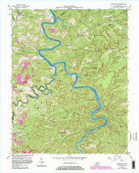
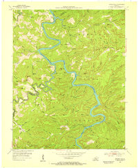
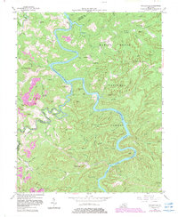
1954 Map of Nevelsville
USGS Topo · Published 1983About this map
Nevelsville and the surrounding river bluffs are documented here during a period of transition within the Daniel Boone National Forest. The landscape is dominated by the winding path of the South Fork Cumberland River, which is noted as subject to controlled inundation. Local life is anchored by small rural centers such as Jonesville and several country schools including Day Ridge Sch and Lower Turkey Creek Sch.
Find a feature on this map
112 named features on this map. Tap any name to fly to it.
Don’t see what you’re looking for? This feature index may not catch every label — zoom into the map to look around manually.
Map Details
Editions of this 1954 Nevelsville Map
5 editions found
Other maps of this area

1890 · Williamsburg
USGS Topo · 1:125,000

1894 · Williamsburg
USGS Topo · 1:125,000

1932 · Burnside
USGS Topo · 1:62,500

1934 · Barthell
USGS Topo · 1:62,500

1952 · Hail
USGS Topo · 1:24,000

1952 · Wiborg
USGS Topo · 1:24,000

1952 · Whitley City
USGS Topo · 1:24,000

1953 · Frazer
USGS Topo · 1:24,000

1954 · Coopersville
USGS Topo · 1:24,000

1954 · Burnside
USGS Topo · 1:24,000