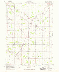
1960 Map of New Bavaria
USGS Topo · Published 1971About this map
The village of Holgate serves as a northern anchor for this mid-century survey of the Ohio countryside, where the agricultural landscape is precisely divided by a network of section lines and gravel roads. The New York Chicago and St Louis railroad cuts a sharp diagonal across the townships, connecting the smaller settlements of Pleasant Bend and New Bavaria. This rail-oriented corridor reflects the traditional grain-and-transport economy of Northwest Ohio, punctuated by rural institutions such as Emanuels Ch and St Stephens Ch.
Find a feature on this map
34 named features on this map. Tap any name to fly to it.
Don’t see what you’re looking for? This feature index may not catch every label — zoom into the map to look around manually.
Map Details
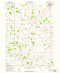
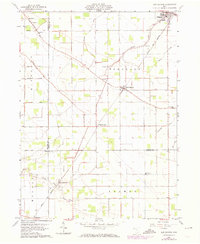
Editions of this 1960 New Bavaria Map
3 editions found
Other maps of this area

1907 · Defiance
USGS Topo · 1:62,500

1908 · Ottawa
USGS Topo · 1:62,500

1908 · Napoleon
USGS Topo · 1:62,500

1909 · Defiance
USGS Topo · 1:62,500

1909 · Continental
USGS Topo · 1:62,500

1953 · Fort Wayne
USGS Topo · 1:250,000

1956 · Fort Wayne
USGS Topo · 1:250,000

1959 · Defiance East
USGS Topo · 1:24,000

1959 · Florida
USGS Topo · 1:24,000

1960 · Ottawa
USGS Topo · 1:24,000