
1912 Map of New Berlin
USGS Topo · Published 1912About this map
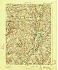
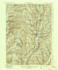
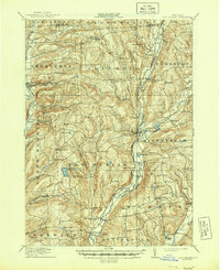
The Unadilla River forms a central spine through this Central New York landscape, carving a valley that dictated the placement of rail lines and early crossroads. In the years before major highway expansion, the New York Ontario and Western RR followed the western bank of the river, connecting rural hubs like South New Berlin and the village of New Berlin. The upland terrain is dotted with small, family-centric settlements and educational landmarks such as East Hill School and Dimmick Hollow School, reflecting a period of localized agricultural commerce.
Find a feature on this map
73 named features on this map. Tap any name to fly to it.
Don’t see what you’re looking for? This feature index may not catch every label — zoom into the map to look around manually.
Map Details
Editions of this 1912 New Berlin Map
4 editions found
Other maps of this area

1902 · Coventry
USGS Topo · 1:62,500

1902 · Morrisville
USGS Topo · 1:62,500

1903 · Norwich
USGS Topo · 1:62,500

1904 · Oxford
USGS Topo · 1:62,500

1907 · Winfield
USGS Topo · 1:62,500

1907 · Sangerfield
USGS Topo · 1:62,500

1910 · Hartwick
USGS Topo · 1:62,500

1910 · New Berlin
USGS Topo · 1:62,500

1912 · Hartwick
USGS Topo · 1:62,500

1915 · Oneonta
USGS Topo · 1:62,500