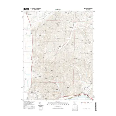
2013 Map of New Boston
USGS Topo · Published 2013About this map
Portsmouth and the industrial riverfront of New Boston anchor the southern edge of this landscape, where the Scioto River meets the Ohio River. The terrain north of the city centers is defined by a dense network of named hollows and ridges, including Pyle Hollow, Houston Hollow, and Woods Ridge, the latter of which features the Woods Ridge Lookout Tower. The mapping of this area reveals a transition from dense urban street grids near 23rd St and 25th St to smaller outlying settlements like Rubyville, Eden Park, and Twin Valley.
Find a feature on this map
80 named features on this map. Tap any name to fly to it.
Don’t see what you’re looking for? This feature index may not catch every label — zoom into the map to look around manually.
Map Details
Editions of this 2013 New Boston Map
This is the sole edition of this map. No revisions or reprints were ever made.
Other maps of this area

1911 · Sciotoville
USGS Topo · 1:62,500

1913 · Sciotoville
USGS Topo · 1:62,500

1915 · Garrison
USGS Topo · 1:62,500

1915 · Otway
USGS Topo · 1:62,500

1917 · Otway
USGS Topo · 1:62,500

1918 · Garrison
USGS Topo · 1:62,500

1926 · Greenup
USGS Topo · 1:48,000

1930 · Greenup
USGS Topo · 1:62,500

1949 · Friendship
USGS Topo · 1:24,000
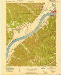
1951 · Friendship
USGS Topo · 1:24,000