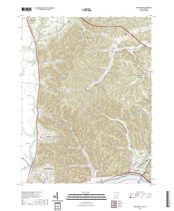
2023 Map of New Boston
USGS Topo · Published 2023About this map
The Ohio River and Scioto River converge at the southwestern edge of this landscape, framing the industrial and residential corridors of Portsmouth and New Boston. The terrain transitions abruptly from the river flats to a densely ridged interior, where local history is preserved in family and community burial grounds like the Summers Cem and Glendale Cem. Notable elevation changes are marked by Hardscrabble Hill in the north and the prominent Feurt Hill further south, with numerous named hollows such as Coon Hollow and Butler Hollow cutting through the upland territory.
Find a feature on this map
100 named features on this map. Tap any name to fly to it.
Don’t see what you’re looking for? This feature index may not catch every label — zoom into the map to look around manually.
Map Details
Editions of this 2023 New Boston Map
This is the sole edition of this map. No revisions or reprints were ever made.
Other maps of this area

1911 · Sciotoville
USGS Topo · 1:62,500

1913 · Sciotoville
USGS Topo · 1:62,500

1915 · Garrison
USGS Topo · 1:62,500

1915 · Otway
USGS Topo · 1:62,500

1917 · Otway
USGS Topo · 1:62,500

1918 · Garrison
USGS Topo · 1:62,500

1926 · Greenup
USGS Topo · 1:48,000

1930 · Greenup
USGS Topo · 1:62,500

1949 · Friendship
USGS Topo · 1:24,000
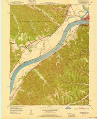
1951 · Friendship
USGS Topo · 1:24,000