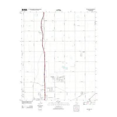
2012 Map of New Deal
USGS Topo · Published 2012About this map
New Deal and the northern outskirts of Lubbock anchor this 2012 survey, illustrating the intersection of High Plains agriculture and modern transportation. The area is dominated by the north-south corridor of Interstate 27 and its predecessor, State Loop 461, which run parallel through the heart of the settlement. To the southeast, the expansive grounds of the Lubbock Preston Smith International Airport mark the transition toward the city, while the Lubbock Terminal Reservoir sits as a notable hydrological feature in the flat terrain.
Find a feature on this map
73 named features on this map. Tap any name to fly to it.
Don’t see what you’re looking for? This feature index may not catch every label — zoom into the map to look around manually.
Map Details
Editions of this 2012 New Deal Map
This is the sole edition of this map. No revisions or reprints were ever made.
Other maps of this area

1954 · Lubbock
USGS Topo · 1:250,000

1956 · Shallowater
USGS Topo · 1:24,000

1956 · New Deal
USGS Topo · 1:24,000

1957 · Lubbock East
USGS Topo · 1:24,000

1957 · Lubbock West
USGS Topo · 1:24,000

1957 · Lubbock
USGS Topo · 1:62,500

1957 · Abernathy
USGS Topo · 1:62,500

1965 · Buffalo Springs Lake
USGS Topo · 1:24,000

1965 · Idalou
USGS Topo · 1:24,000

1965 · Heckville
USGS Topo · 1:24,000