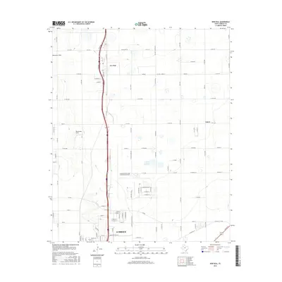
2016 Map of New Deal
USGS Topo · Published 2016About this map
New Deal and the northern outskirts of Lubbock anchor this High Plains landscape, where the flat terrain is defined by the ephemeral path of Blackwater Draw and a grid of rural roads. The area shows a clear transition from agricultural fields to the industrial and transportation infrastructure of the city. A major focal point is the Lubbock Preston Smith International Airport, which occupies a large portion of the central terrain alongside the Lubbock Terminal Reservoir. The local street names, including MLK JR Blvd and N Martin Luther King Blvd, reflect the mid-twentieth-century expansion of the city northward. Small rural clusters like Liberty and Emerson dot the landscape, connected by farm-to-market roads such as E Fm 1729 that serve the outlying ranching and farming community.
Find a feature on this map
98 named features on this map. Tap any name to fly to it.
Don’t see what you’re looking for? This feature index may not catch every label — zoom into the map to look around manually.
Map Details
Editions of this 2016 New Deal Map
This is the sole edition of this map. No revisions or reprints were ever made.
Other maps of this area

1954 · Lubbock
USGS Topo · 1:250,000

1956 · Shallowater
USGS Topo · 1:24,000

1956 · New Deal
USGS Topo · 1:24,000

1957 · Lubbock East
USGS Topo · 1:24,000

1957 · Lubbock West
USGS Topo · 1:24,000

1957 · Lubbock
USGS Topo · 1:62,500

1957 · Abernathy
USGS Topo · 1:62,500

1965 · Buffalo Springs Lake
USGS Topo · 1:24,000

1965 · Idalou
USGS Topo · 1:24,000

1965 · Heckville
USGS Topo · 1:24,000