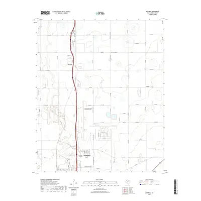
2019 Map of New Deal
USGS Topo · Published 2019About this map
Lubbock Preston Smith International Airport dominates the central portion of this landscape, illustrating the modern aviation infrastructure serving the South Plains of Texas. The settlement of New Deal sits to the north, bisected by the primary north-south corridor of U.S. Route 87, which connects the small community to the larger city of Lubbock to the south. The terrain is characterized by the distinct geological indentation of Blackwater Draw, a significant drainage feature that winds through the high plains toward Canyon Road.
Find a feature on this map
50 named features on this map. Tap any name to fly to it.
Don’t see what you’re looking for? This feature index may not catch every label — zoom into the map to look around manually.
Map Details
Editions of this 2019 New Deal Map
This is the sole edition of this map. No revisions or reprints were ever made.
Other maps of this area

1954 · Lubbock
USGS Topo · 1:250,000

1956 · Shallowater
USGS Topo · 1:24,000

1956 · New Deal
USGS Topo · 1:24,000

1957 · Lubbock East
USGS Topo · 1:24,000

1957 · Lubbock West
USGS Topo · 1:24,000

1957 · Lubbock
USGS Topo · 1:62,500

1957 · Abernathy
USGS Topo · 1:62,500

1965 · Buffalo Springs Lake
USGS Topo · 1:24,000

1965 · Idalou
USGS Topo · 1:24,000

1965 · Heckville
USGS Topo · 1:24,000