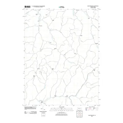
2010 Map of New Freeport
USGS Topo · Published 2010About this map
Ryerson Station State Park anchors the northern reaches of this rural Greene County landscape, where the headwaters of the South Fork Dunkard Fork and Pennsylvania Fork Fish Creek carve through the steep terrain. The settlement pattern here is deeply rooted in the winding hollows and narrow ridges, with communities like Aleppo, New Freeport, and Nettle Hill serving as local hubs for the surrounding farmsteads.
Find a feature on this map
86 named features on this map. Tap any name to fly to it.
Don’t see what you’re looking for? This feature index may not catch every label — zoom into the map to look around manually.
Map Details
Editions of this 2010 New Freeport Map
This is the sole edition of this map. No revisions or reprints were ever made.
Other maps of this area

1903 · Littleton
USGS Topo · 1:62,500

1904 · Cameron
USGS Topo · 1:62,500

1905 · Mannington
USGS Topo · 1:62,500

1905 · Rogersville
USGS Topo · 1:62,500

1905 · Littleton
USGS Topo · 1:62,500

1923 · Mannington
USGS Topo · 1:62,500

1924 · Littleton
USGS Topo · 1:62,500

1926 · Littleton
USGS Topo · 1:62,500

1926 · Mannington
USGS Topo · 1:62,500

1935 · Cameron
USGS Topo · 1:62,500
Featured Places
- Aleppo Township, PA
- Freeport Township, PA
- Jackson Township, PA
- Richhill Township, PA
- Gilmore Township, PA