
1892 Map of New Haven
USGS Topo · Published 1892About this map
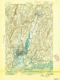
New Haven radiates from its historic center toward the coast in this late nineteenth-century survey, revealing a landscape defined by industrial expansion and maritime commerce. The city’s core is flanked by the towering precipices of West Rock Ridge and East Rock, while the Quinnipiac River winds through tidal marshes into the busy New Haven Harbor. To the south, the coastline is dotted with landmarks like Savin Rock and the coastal defenses of Fort Hale, alongside dozens of named islands such as the Thimble Islands.
Find a feature on this map
87 named features on this map. Tap any name to fly to it.
Don’t see what you’re looking for? This feature index may not catch every label — zoom into the map to look around manually.
Map Details
Editions of this 1892 New Haven Map
13 editions found
1892 edition
14.8 x 21.2 inches
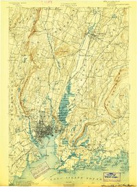
1893 edition
16.6 x 22 inches
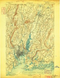
1898 edition
15 x 20.4 inches
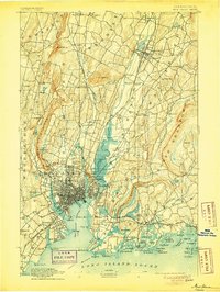
1902 edition
16.3 x 21.3 inches
1905 edition
16.3 x 21.7 inches
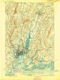
1907 edition
16.3 x 21.5 inches
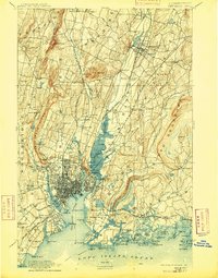
1909 edition
16.4 x 21 inches
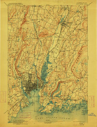
1912 edition
16.1 x 21.2 inches
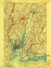
1917 edition
15.6 x 20.9 inches
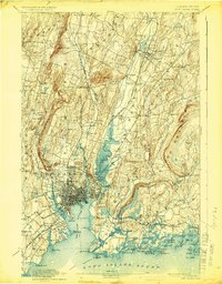
1924 edition
16.4 x 20.9 inches
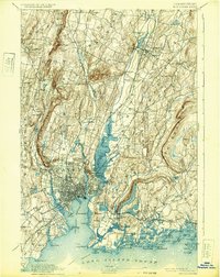
1932 edition
16.4 x 20.7 inches
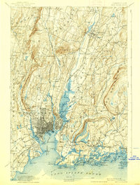
1938 edition
15.8 x 20.9 inches
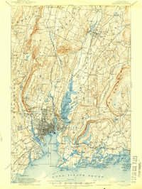
1944 edition
15.7 x 20.8 inches
Other maps of this area

1889 · Derby
USGS Topo · 1:62,500

1891 · Bridgeport
USGS Topo · 1:62,500

1891 · Derby
USGS Topo · 1:62,500

1892 · Meriden
USGS Topo · 1:62,500

1893 · Bridgeport
USGS Topo · 1:62,500

1893 · Guilford
USGS Topo · 1:62,500

1893 · Middletown
USGS Topo · 1:62,500

1893 · Waterbury
USGS Topo · 1:62,500

1893 · Meriden
USGS Topo · 1:62,500

1893 · Derby
USGS Topo · 1:62,500