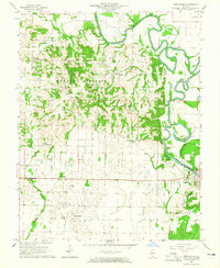
1964 Map of New Haven
USGS Topo · Published 1965About this map
The Little Wabash River defines the eastern landscape of this Southern Illinois region, its dramatic meanders and oxbows carving through the bottomlands near New Haven. In the mid-1960s, this area was a patchwork of agricultural activity and active petroleum extraction, evidenced by numerous Oil Wells and a dedicated Oil Field southeast of the river. The map details a community bound by its rural institutions, showing several country houses of worship such as Plainview Ch and Perry Ch.
Find a feature on this map
28 named features on this map. Tap any name to fly to it.
Don’t see what you’re looking for? This feature index may not catch every label — zoom into the map to look around manually.
Map Details
Editions of this 1964 New Haven Map
2 editions found
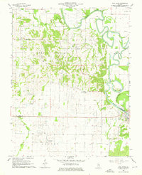
Other maps of this area

1905 · Eldorado
USGS Topo · 1:62,500

1905 · New Haven
USGS Topo · 1:62,500

1906 · New Haven
USGS Topo · 1:62,500

1906 · Eldorado
USGS Topo · 1:62,500

1940 · Carmi
USGS Topo · 1:62,500

1941 · Enfield
USGS Topo · 1:62,500

1943 · Carmi
USGS Topo · 1:62,500

1944 · Enfield
USGS Topo · 1:62,500

1949 · Paducah
USGS Topo · 1:250,000

1949 · New Haven
USGS Topo · 1:62,500