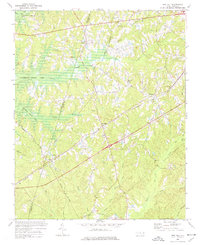
1974 Map of New Hill
USGS Topo · Published 1977About this map
B Everett Jordan Lake dominates the northwestern landscape of this survey, with blue hatching indicating the specific areas designated for submergence at the 216-foot elevation mark. This hydrographic transformation reshaped the terrain around the Chatham Co Wake Co border, where the convergence of Little Beaver Creek and Beaver Creek met the rising waters. The rail network remains a prominent fixture of the local economy, with the Seaboard Coast Line and Norfolk Southern corridors intersecting near the settlements of Bonsal and New Hill. Cultural landmarks such as Olive Chapel, Christian Chapel, and the Pleasant Plains Sch serve as focal points for rural life during this period of transition. The presence of the Luther Airstrip and various pipelines indicates a landscape balancing traditional agricultural roots with mid-century infrastructure developments.
Find a feature on this map
26 named features on this map. Tap any name to fly to it.
Don’t see what you’re looking for? This feature index may not catch every label — zoom into the map to look around manually.
Map Details
Editions of this 1974 New Hill Map
4 editions found
Other maps of this area

1943 · Durham South
USGS Topo · 1:62,500

1951 · Farrington
USGS Topo · 1:24,000

1951 · Durham South
USGS Topo · 1:62,500

1953 · Raleigh
USGS Topo · 1:250,000

1954 · Raleigh
USGS Topo · 1:250,000

1969 · New Hope Dam
USGS Topo · 1:24,000

1970 · Moncure
USGS Topo · 1:24,000
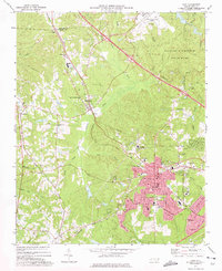
1973 · Cary
USGS Topo · 1:24,000
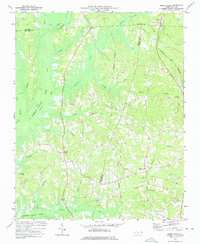
1973 · Green Level
USGS Topo · 1:24,000

1974 · Apex
USGS Topo · 1:24,000