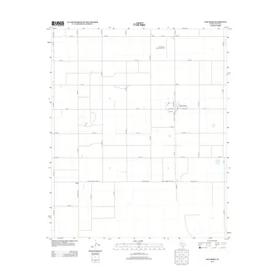
2012 Map of New Home
USGS Topo · Published 2012About this map
New Home serves as the primary population center on this High Plains landscape, situated at the junction of FM-211 and FM-1730. The town's grid is defined by streets like W Broadway, E Broadway, and Hiricheta Dr, which anchor the small community amidst a vast network of section-line roads. The surrounding terrain is meticulously organized into a rectangular grid of county roads, such as Co Road H and Cord-151, illustrating the region's intensive agricultural character and the systematic land division typical of West Texas.
Find a feature on this map
33 named features on this map. Tap any name to fly to it.
Don’t see what you’re looking for? This feature index may not catch every label — zoom into the map to look around manually.
Map Details
Editions of this 2012 New Home Map
This is the sole edition of this map. No revisions or reprints were ever made.
Other maps of this area

1954 · Lubbock
USGS Topo · 1:250,000

1954 · Brownfield
USGS Topo · 1:250,000

1957 · New Home
USGS Topo · 1:62,500

1957 · Meadow
USGS Topo · 1:62,500

1958 · Brownfield
USGS Topo · 1:250,000

1962 · Brownfield
USGS Topo · 1:250,000

1969 · Mound Lake
USGS Topo · 1:24,000

1969 · Tahoka
USGS Topo · 1:24,000

1969 · Double Lakes
USGS Topo · 1:24,000

1976 · New Home NW
USGS Topo · 1:24,000