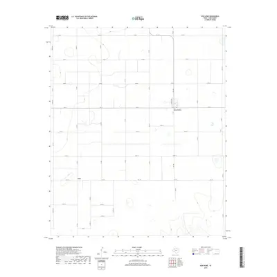
2019 Map of New Home
USGS Topo · Published 2019About this map
New Home sits at the intersection of a vast grid of county roads and farm-to-market routes in this portion of Lynn County. The landscape is defined by the high plains of West Texas, where the geometry of agriculture is superimposed on a terrain dotted with small, ephemeral depressions and playas. The small settlement of Petty lies to the southwest, situated along Fm 1317 and Co RD F. The network of transit is exceptionally detailed, featuring a dense web of local connectors like Hiracheta Dr and dozens of numbered county roads, such as Co RD 2 and Co RD 191, which partition the land into regular sections. This arrangement reflects the region's historical development through large-scale farming and ranching, where the road system serves as the primary skeleton for rural life and commerce.
Find a feature on this map
28 named features on this map. Tap any name to fly to it.
Don’t see what you’re looking for? This feature index may not catch every label — zoom into the map to look around manually.
Map Details
Editions of this 2019 New Home Map
This is the sole edition of this map. No revisions or reprints were ever made.
Other maps of this area

1954 · Lubbock
USGS Topo · 1:250,000

1954 · Brownfield
USGS Topo · 1:250,000
1957 · New Home
USGS Topo · 1:62,500
1957 · Meadow
USGS Topo · 1:62,500

1958 · Brownfield
USGS Topo · 1:250,000

1962 · Brownfield
USGS Topo · 1:250,000
1969 · Mound Lake
USGS Topo · 1:24,000
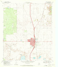
1969 · Tahoka
USGS Topo · 1:24,000
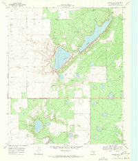
1969 · Double Lakes
USGS Topo · 1:24,000
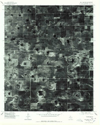
1976 · New Home NW
USGS Topo · 1:24,000