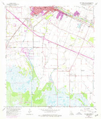
1963 Map of New Iberia South
USGS Topo · Published 1978About this map
Bayou Teche defines the northern landscape of this Iberia Parish survey, where the concentrated development of New Iberia transitions into the expansive agricultural lands and wetlands to the south. The city's growth is marked by numerous educational institutions like Peason Sch and Hamilton Sch, while its industrial reach extends to the Port of New Iberia and along the Southern Pacific railroad lines.
Find a feature on this map
39 named features on this map. Tap any name to fly to it.
Don’t see what you’re looking for? This feature index may not catch every label — zoom into the map to look around manually.
Map Details
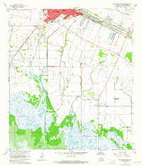
Editions of this 1963 New Iberia South Map
2 editions found
Other maps of this area

1937 · Jeanerette
USGS Topo · 1:62,500

1937 · Derouen
USGS Topo · 1:62,500

1939 · St. Martinsville
USGS Topo · 1:62,500

1941 · Loreauville
USGS Topo · 1:62,500

1945 · New Orleans
USGS Topo · 1:250,000

1954 · Loreauville
USGS Topo · 1:62,500

1954 · Jeanerette
USGS Topo · 1:62,500

1954 · Baton Rouge
USGS Topo · 1:250,000

1956 · Baton Rouge
USGS Topo · 1:250,000

1957 · St. Martinville
USGS Topo · 1:62,500