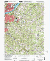
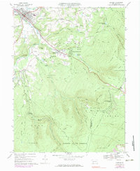
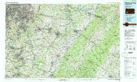
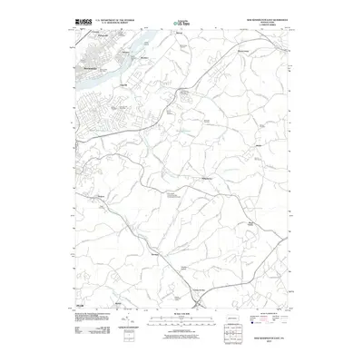
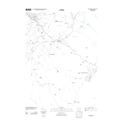
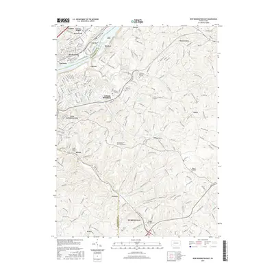
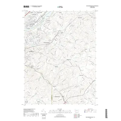
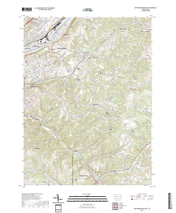
1998 Map of New Kensington East
USGS Topo · Published 2000About this map
The Allegheny River defines the western boundary of this late-20th-century landscape, where industrial river towns like Natrona, Brackenridge, and Tarentum anchor the valley. The map reveals the dense settlement patterns of New Kensington transitioning into the more undulating terrain of Lower Burrell and Upper Burrell. Educational and community infrastructure is well-documented, from the Penn State University (New Kensington Campus) and St Joseph High Sch to the prominent Allegheny Valley Hospital in Natrona Heights.
Find a feature on this map
55 named features on this map. Tap any name to fly to it.
Don’t see what you’re looking for? This feature index may not catch every label — zoom into the map to look around manually.
Map Details
Editions of this 1998 New Kensington East Map
This is the sole edition of this map. No revisions or reprints were ever made.
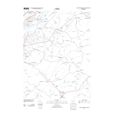
Historical Maps of Plum Through Time
37 maps found
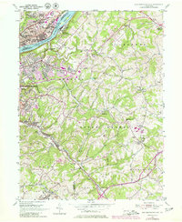
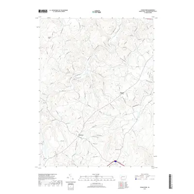
1953 New Kensington East
Westmoreland County, PA
1964 Rachelwood
Westmoreland County, PA
1964 Wilpen
Westmoreland County, PA
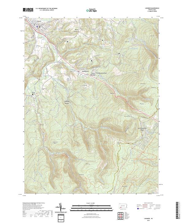
1967 Ligonier
Westmoreland County, PA
1967 Stahlstown
Westmoreland County, PA
1973 Rachelwood
Westmoreland County, PA

1977 Ligonier
Westmoreland County, PA
1977 Rachelwood
Westmoreland County, PA
1986 Pittsburgh East
Westmoreland County, PA
1993 New Kensington East
Westmoreland County, PA
1998 New Kensington East
Westmoreland County, PA
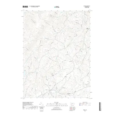
1998 Rachelwood
Westmoreland County, PA
2010 Ligonier
Westmoreland County, PA
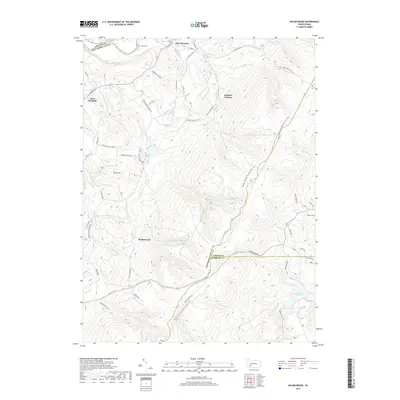
2010 New Kensington East
Westmoreland County, PA
2010 Rachelwood
Westmoreland County, PA
2010 Stahlstown
Westmoreland County, PA
2010 Wilpen
Westmoreland County, PA
2013 Ligonier
Westmoreland County, PA
2013 New Kensington East
Westmoreland County, PA
2013 Rachelwood
Westmoreland County, PA
2013 Stahlstown
Westmoreland County, PA
2013 Wilpen
Westmoreland County, PA
2016 Ligonier
Westmoreland County, PA
2016 New Kensington East
Westmoreland County, PA
2016 Rachelwood
Westmoreland County, PA
2016 Stahlstown
Westmoreland County, PA
2016 Wilpen
Westmoreland County, PA
2019 Ligonier
Westmoreland County, PA
2019 New Kensington East
Westmoreland County, PA
2019 Rachelwood
Westmoreland County, PA
2019 Stahlstown
Westmoreland County, PA
2019 Wilpen
Westmoreland County, PA
2023 Ligonier
Westmoreland County, PA
2023 New Kensington East
Westmoreland County, PA
2023 Rachelwood
Westmoreland County, PA
2023 Stahlstown
Westmoreland County, PA
2023 Wilpen
Westmoreland County, PA