
1961 Map of New Lexington
USGS Topo · Published 1962About this map
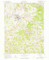
New Lexington serves as the industrial and civic anchor of this 1961 survey, showing a landscape defined by the convergence of the Pennsylvania, New York Central, and Baltimore and Ohio railroads. The town's local infrastructure is remarkably detailed, from the St Aloysius Academy and the Fairgrounds to the New Lexington Airport north of the main settlement.
Find a feature on this map
65 named features on this map. Tap any name to fly to it.
Don’t see what you’re looking for? This feature index may not catch every label — zoom into the map to look around manually.
Map Details
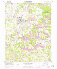
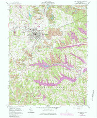
Editions of this 1961 New Lexington Map
4 editions found
Other maps of this area

1907 · Logan
USGS Topo · 1:62,500

1909 · Thornville
USGS Topo · 1:62,500

1909 · Logan
USGS Topo · 1:62,500

1910 · Zanesville
USGS Topo · 1:62,500

1911 · New Lexington
USGS Topo · 1:62,500

1947 · Columbus
USGS Topo · 1:250,000

1961 · Columbus
USGS Topo · 1:250,000

1961 · Corning
USGS Topo · 1:24,000

1961 · Deavertown
USGS Topo · 1:24,000
1961 · New Straitsville
USGS Topo · 1:24,000