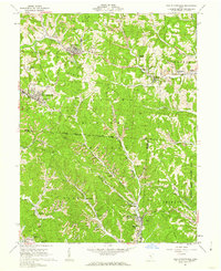
1961 Map of New Straitsville
USGS Topo · Published 1962About this map
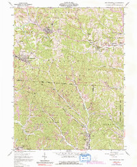
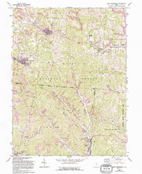
Extensive coal extraction and brick manufacturing define the landscape of the Hocking Valley coal region in the early 1960s. Strip Mine operations and industrial features like Brick Kilns are concentrated around the mining towns of Shawnee and New Straitsville. The terrain is deeply dissected by drainages such as Monday Creek and Sunday Creek, which historically facilitated the transport of mineral wealth. The infrastructure of the Baltimore and Ohio and Chesapeake and Ohio railroads follows these valley floors, connecting small mining camps and settlements like New Pittsburg and Murray City. Local heritage is anchored by landmarks such as St Augustine Ch and cemeteries like Springer Cem, reflecting the cultural footprint of the immigrant labor force that built these communities. Much of the surrounding area is preserved within the Wayne National Forest, showing a balance between resource extraction and the established Trimble State Wildlife Area.
Find a feature on this map
56 named features on this map. Tap any name to fly to it.
Don’t see what you’re looking for? This feature index may not catch every label — zoom into the map to look around manually.
Map Details
Editions of this 1961 New Straitsville Map
6 editions found
Other maps of this area

1903 · Athens
USGS Topo · 1:62,500

1904 · Zaleski
USGS Topo · 1:62,500

1905 · Athens
USGS Topo · 1:62,500

1907 · Zaleski
USGS Topo · 1:62,500

1907 · Logan
USGS Topo · 1:62,500

1909 · Logan
USGS Topo · 1:62,500

1911 · New Lexington
USGS Topo · 1:62,500

1947 · Columbus
USGS Topo · 1:250,000

1961 · Columbus
USGS Topo · 1:250,000

1961 · Nelsonville
USGS Topo · 1:24,000