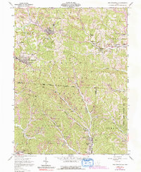
1961 Map of New Straitsville
USGS Topo · Published 1992About this map
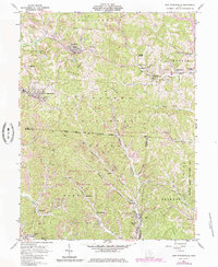
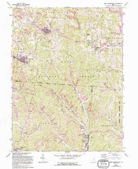
New Straitsville and the surrounding coal-country settlements of the Wayne National Forest are defined by a complex landscape of extraction and community in the early 1960s. The topography is dominated by extensive Strip Mine operations and industrial features like the Tipple near New Town, reflecting the region's heavy reliance on the coal industry. Narrow ridges such as Dugan Ridge and Salem Ridge separate the valleys where towns like Shawnee, Hemlock, and Murray City developed along corridors like Monday Creek and West Branch Sunday Creek.
Find a feature on this map
55 named features on this map. Tap any name to fly to it.
Don’t see what you’re looking for? This feature index may not catch every label — zoom into the map to look around manually.
Map Details
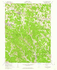
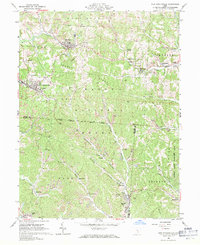
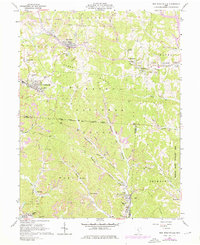
Editions of this 1961 New Straitsville Map
6 editions found
Other maps of this area

1903 · Athens
USGS Topo · 1:62,500

1904 · Zaleski
USGS Topo · 1:62,500

1905 · Athens
USGS Topo · 1:62,500

1907 · Zaleski
USGS Topo · 1:62,500

1907 · Logan
USGS Topo · 1:62,500

1909 · Logan
USGS Topo · 1:62,500

1911 · New Lexington
USGS Topo · 1:62,500

1947 · Columbus
USGS Topo · 1:250,000

1961 · Columbus
USGS Topo · 1:250,000

1961 · Nelsonville
USGS Topo · 1:24,000