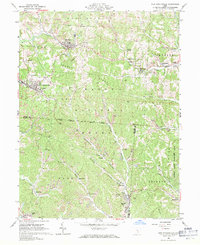
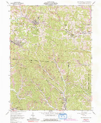
1961 Map of New Straitsville
USGS Topo · Published 1971About this map
Extensive Strip Mines dominate the topography of the Hocking Valley coal region in the early 1960s, reflecting an era of intensive industrial extraction across Wayne National Forest. The landscape is a network of company towns and mining settlements, where the Baltimore and Ohio and Chesapeake and Ohio railroads served as the primary arteries for coal transport. From the concentration of houses in Shawnee and New Straitsville to smaller locales like Buckingham and Drakes, the map records a high density of rural infrastructure. Numerous small family or community burial grounds, such as Springer Cem and Dugan Cem, alongside landmarks like the Lookout Tower, provide critical touchstones for genealogical research. The presence of the Ohio Company River Purchase boundary and the Congress Lands Boundary adds a layer of early 19th-century land survey history to this mid-20th-century record of industrial Appalachia.
Find a feature on this map
55 named features on this map. Tap any name to fly to it.
Don’t see what you’re looking for? This feature index may not catch every label — zoom into the map to look around manually.
Map Details
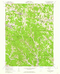
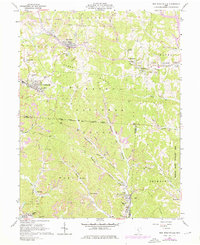
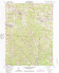
Editions of this 1961 New Straitsville Map
6 editions found
Other maps of this area

1903 · Athens
USGS Topo · 1:62,500

1904 · Zaleski
USGS Topo · 1:62,500

1905 · Athens
USGS Topo · 1:62,500

1907 · Zaleski
USGS Topo · 1:62,500

1907 · Logan
USGS Topo · 1:62,500

1909 · Logan
USGS Topo · 1:62,500

1911 · New Lexington
USGS Topo · 1:62,500

1947 · Columbus
USGS Topo · 1:250,000

1961 · Columbus
USGS Topo · 1:250,000

1961 · Nelsonville
USGS Topo · 1:24,000