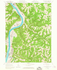
1960 Map of New Martinsville
USGS Topo · Published 1968About this map
New Martinsville sits along the Ohio River at the junction of industrial river-valley development and the deeply dissected ridges of Wetzel County. By the early 1960s, the riverside landscape shows a mix of traditional settlements and modern infrastructure, including the Baltimore and Ohio railroad running through Steelton and Brooklyn. Industrial sites like the Settling Pond and Ore Storage at Natrium contrast with the rural character of the interior ridges. Local history and genealogy are anchored by landmarks such as the County Infirmary, Steelton Sch, and the Greenlawn Cemetery. Significant topographic features like Wells Bottom and Buck Hill provide a backdrop for a diverse economy that includes a Golf Course and a Drive-in Theater, reflecting the mid-century transition of this river community.
Find a feature on this map
72 named features on this map. Tap any name to fly to it.
Don’t see what you’re looking for? This feature index may not catch every label — zoom into the map to look around manually.
Map Details
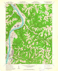
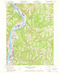
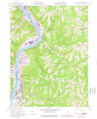
Editions of this 1960 New Martinsville Map
4 editions found
Other maps of this area

1903 · Littleton
USGS Topo · 1:62,500

1904 · Cameron
USGS Topo · 1:62,500

1905 · Littleton
USGS Topo · 1:62,500

1905 · Clarington
USGS Topo · 1:62,500

1906 · New Martinsville
USGS Topo · 1:62,500

1924 · New Martinsville
USGS Topo · 1:62,500

1924 · Littleton
USGS Topo · 1:62,500

1926 · Littleton
USGS Topo · 1:62,500

1926 · New Martinsville
USGS Topo · 1:62,500

1935 · Cameron
USGS Topo · 1:62,500