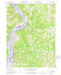
1960 Map of New Martinsville
USGS Topo · Published 1977About this map
The Ohio River corridor at New Martinsville dominates this mid-century survey, showcasing a landscape where heavy industry and river navigation meet the rising ridges of Magnolia and Proctor. The riverfront is a dense network of transport and utility, featuring the Hannibal Locks and Dam, extensive Sewage Disposal facilities, and the industrial footprint at Natrium. Transportation is anchored by the Baltimore and Ohio and Conrail lines, which skirt the river bottoms alongside settlements like Brooklyn and Steelton.
Find a feature on this map
80 named features on this map. Tap any name to fly to it.
Don’t see what you’re looking for? This feature index may not catch every label — zoom into the map to look around manually.
Map Details
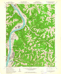
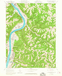
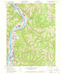
Editions of this 1960 New Martinsville Map
4 editions found
Other maps of this area

1903 · Littleton
USGS Topo · 1:62,500

1904 · Cameron
USGS Topo · 1:62,500

1905 · Littleton
USGS Topo · 1:62,500

1905 · Clarington
USGS Topo · 1:62,500

1906 · New Martinsville
USGS Topo · 1:62,500

1924 · New Martinsville
USGS Topo · 1:62,500

1924 · Littleton
USGS Topo · 1:62,500

1926 · Littleton
USGS Topo · 1:62,500

1926 · New Martinsville
USGS Topo · 1:62,500

1935 · Cameron
USGS Topo · 1:62,500