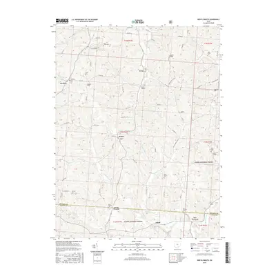
2016 Map of New Plymouth
USGS Topo · Published 2016About this map
New Plymouth and the surrounding borderlands of Hocking and Vinton counties are defined by a complex network of ridges and hollows, where small settlements like Orland and Ilesboro anchor the rural landscape. Much of the southern and eastern terrain is preserved within the Wayne National Forest, an area marked by high points such as Harble Ridge and Carrick Hill. The drainage patterns are intricate, with the Honey Fork and W Br Raccoon Cr cutting through the topography. Genealogy researchers will find numerous small burial sites preserved on these slopes, including the Morris Chapel Cems, Miller Chapel Cem, and Olive Branch Cem. The map illustrates a region where life follows the contours of the land, from the secluded Metz Hollow to the small community of Blackjack in the northwest corner.
Find a feature on this map
124 named features on this map. Tap any name to fly to it.
Don’t see what you’re looking for? This feature index may not catch every label — zoom into the map to look around manually.
Map Details
Editions of this 2016 New Plymouth Map
This is the sole edition of this map. No revisions or reprints were ever made.
Other maps of this area

1904 · Zaleski
USGS Topo · 1:62,500

1907 · Zaleski
USGS Topo · 1:62,500

1907 · Logan
USGS Topo · 1:62,500

1907 · Lancaster
USGS Topo · 1:62,500

1909 · Lancaster
USGS Topo · 1:62,500

1909 · Logan
USGS Topo · 1:62,500

1910 · Laurelville
USGS Topo · 1:62,500

1912 · Laurelville
USGS Topo · 1:62,500

1944 · Laurelville
USGS Topo · 1:62,500

1947 · Columbus
USGS Topo · 1:250,000