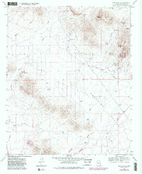
1964 Map of New River SE
USGS Topo · Published 1982About this map
Paradise Valley and the southern foothills of the Bradshaws define this landscape north of Phoenix as it appeared in the early 1960s. The map captures a transition between the desert floor at Biscuit Flat and the prominent heights of Apache Peak. Water management for ranching and early development is evident through a network of specialized infrastructure, including East Joy Well, Bentley Well, and numerous cattle tanks like Skunk Creek Tank and Desert Lake Tank.
Find a feature on this map
28 named features on this map. Tap any name to fly to it.
Don’t see what you’re looking for? This feature index may not catch every label — zoom into the map to look around manually.
Map Details
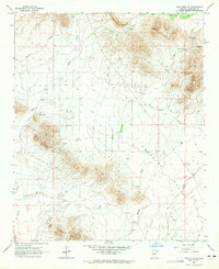
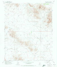
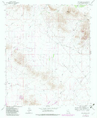
Editions of this 1964 New River SE Map
4 editions found
Other maps of this area

1904 · Camelback
USGS Topo · 1:62,500

1906 · Camelsback
USGS Topo · 1:62,500

1930 · Cave Creek
USGS Topo · 1:125,000

1939 · Cave Creek
USGS Topo · 1:125,000

1954 · Phoenix
USGS Topo · 1:250,000

1954 · Mesa
USGS Topo · 1:250,000

1957 · Mesa
USGS Topo · 1:250,000

1957 · Phoenix
USGS Topo · 1:250,000

1957 · Hedgpeth Hills
USGS Topo · 1:24,000

1958 · Mesa
USGS Topo · 1:250,000