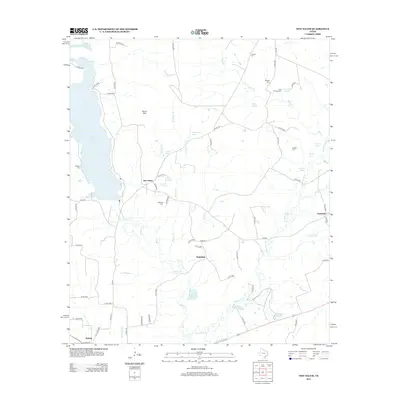
2013 Map of New Salem
USGS Topo · Published 2013About this map
Lake Striker defines the western edge of this East Texas landscape, where the waters of Striker Cr and White Oak Cr converge. The settlement of New Salem serves as a central point for a network of county roads that connect family landmarks and early community sites. Further south, Fairview and Anadarko mark historical nodes near the bottomlands of the Angelina River, where the terrain transitions into a complex system of sloughs and lakes, including Black Lake, Harmon Lake, and Bückner Lake.
Find a feature on this map
75 named features on this map. Tap any name to fly to it.
Don’t see what you’re looking for? This feature index may not catch every label — zoom into the map to look around manually.
Map Details
Editions of this 2013 New Salem Map
This is the sole edition of this map. No revisions or reprints were ever made.
Other maps of this area

1935 · Henderson
USGS Topo · 1:48,000

1937 · Troupe
USGS Topo · 1:48,000

1939 · Henderson
USGS Topo · 1:62,500

1943 · Troup
USGS Topo · 1:62,500

1943 · Cushing
USGS Topo · 1:62,500

1943 · Rusk
USGS Topo · 1:62,500

1945 · Cushing
USGS Topo · 1:62,500

1945 · Rusk
USGS Topo · 1:62,500

1953 · Palestine
USGS Topo · 1:250,000

1956 · Tyler
USGS Topo · 1:250,000