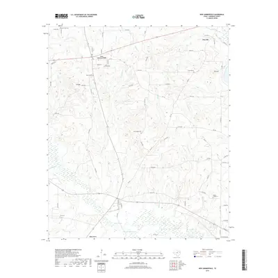
2019 Map of New Summerfield
USGS Topo · Published 2019About this map
New Summerfield sits at the heart of this East Texas landscape, where the intersection of several farm-to-market roads defines the local geography. The area is characterized by a high density of family and community burial grounds, including the centrally located Myrtle Springs Cem and the Union Chapel Cem situated just south of the main township. These sites, along with Walkers Chapel Cem and McDonald Cem, offer significant points of interest for those tracing local lineages.
Find a feature on this map
74 named features on this map. Tap any name to fly to it.
Don’t see what you’re looking for? This feature index may not catch every label — zoom into the map to look around manually.
Map Details
Editions of this 2019 New Summerfield Map
This is the sole edition of this map. No revisions or reprints were ever made.
Other maps of this area

1935 · Henderson
USGS Topo · 1:48,000

1937 · Troupe
USGS Topo · 1:48,000

1939 · Henderson
USGS Topo · 1:62,500

1943 · Troup
USGS Topo · 1:62,500

1943 · Cushing
USGS Topo · 1:62,500

1943 · Rusk
USGS Topo · 1:62,500

1945 · Cushing
USGS Topo · 1:62,500

1945 · Rusk
USGS Topo · 1:62,500

1953 · Palestine
USGS Topo · 1:250,000

1956 · Tyler
USGS Topo · 1:250,000