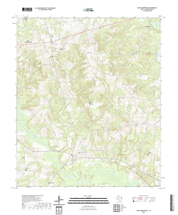
2022 Map of New Summerfield
USGS Topo · Published 2022About this map
New Summerfield serves as the focal point of this Cherokee County survey, where the town's grid meets a network of country roads including FM 235 and Tipton Ln. The landscape is defined by the subtle rise of Gill Mtn and a complex drainage system featuring Caney Cr and Bend About Cr. For genealogists and local historians, the area is rich with family and community legacy sites, from the centrally located Union Chapel Cem and McDonald Cem to the outlying Walkers Chapel Cem near the eastern edge. Settlement patterns follow the winding paths of the region's creeks, with clusters like Pine Hill, Rock Hill, and Elm Grove anchored by small lakes such as Peacock Lake and Stafford Lake. This modern record of the terrain preserves the locations of numerous historic cemeteries, including Myrtle Springs Cem and Plainview Cem, which reflect the generations of families who established these rural East Texas communities.
Find a feature on this map
76 named features on this map. Tap any name to fly to it.
Don’t see what you’re looking for? This feature index may not catch every label — zoom into the map to look around manually.
Map Details
Editions of this 2022 New Summerfield Map
This is the sole edition of this map. No revisions or reprints were ever made.
Other maps of this area

1935 · Henderson
USGS Topo · 1:48,000

1937 · Troupe
USGS Topo · 1:48,000

1939 · Henderson
USGS Topo · 1:62,500

1943 · Troup
USGS Topo · 1:62,500

1943 · Cushing
USGS Topo · 1:62,500

1943 · Rusk
USGS Topo · 1:62,500

1945 · Cushing
USGS Topo · 1:62,500

1945 · Rusk
USGS Topo · 1:62,500

1953 · Palestine
USGS Topo · 1:250,000

1956 · Tyler
USGS Topo · 1:250,000