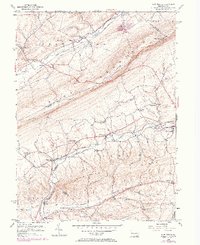
1956 Map of New Tripoli
USGS Topo · Published 1971About this map
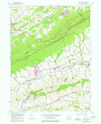
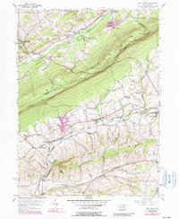
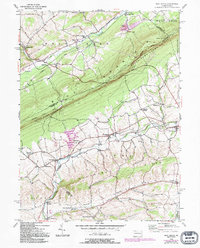
Blue Mountain divides this landscape, creating a distinct physical barrier between the Lizard Creek valley to the north and the Ontelaunee Creek basin to the south. The ridge is traversed by the Appalachian Trail, which follows the high ground along the border between Lehigh Co and Schuylkill Co. Below the ridge, the southern landscape is defined by the agricultural and railroad activity surrounding New Tripoli and Lynnport. The Reading railroad line connects a string of small settlements including Wanamakers and Steinsville, tracing the valley floor beneath Shochary Ridge. Local history is preserved in the placement of small landmarks like the Bolich Sch and New Jerusalem Ch, alongside infrastructure such as Ulrichs Bridge and the Fetherolfsville Bridge. To the north, the terrain transitions into the mining-influenced industrial landscape of West Penn, evidenced by a Limestone Quarry and Tailings Pond near Andreas.
Find a feature on this map
51 named features on this map. Tap any name to fly to it.
Don’t see what you’re looking for? This feature index may not catch every label — zoom into the map to look around manually.
Map Details
Editions of this 1956 New Tripoli Map
7 editions found
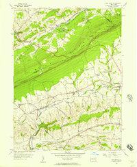
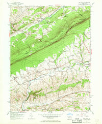
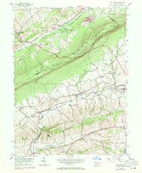
Other maps of this area

1889 · Hazleton
USGS Topo · 1:62,500

1891 · Hazleton
USGS Topo · 1:62,500

1893 · Hazleton
USGS Topo · 1:62,500

1902 · Slatington
USGS Topo · 1:62,500

1909 · Hamburg
USGS Topo · 1:62,500

1911 · Hamburg
USGS Topo · 1:62,500

1922 · Mauch Chunk
USGS Topo · 1:62,500

1924 · Mauch Chunk
USGS Topo · 1:62,500

1937 · Allentown West
USGS Topo · 1:48,000

1942 · Allentown West
USGS Topo · 1:62,500
Featured Places
- Weisenberg Township, PA
- West Penn Township, PA
- Albany Township, PA
- Heidelberg Township, PA
- Leibeyville, West Penn Township