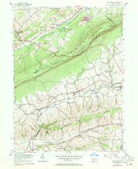
1956 Map of New Tripoli
USGS Topo · Published 1971About this map
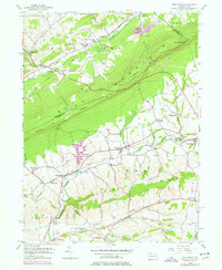
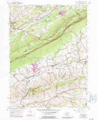
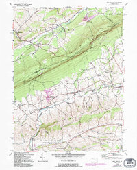
Blue Mountain dominates this mid-century landscape, acting as a massive geological barrier between the creek valleys of Lynn and West Penn. The high ridge is traversed by the Appalachian Trail, which passes landmarks like Baers Rocks as it follows the county lines of Carbon, Schuylkill, and Lehigh. Below the slopes, the Reading railroad network winds through several small settlements, connecting rural hubs like Lynnport, Wanamakers, and New Tripoli.
Find a feature on this map
44 named features on this map. Tap any name to fly to it.
Don’t see what you’re looking for? This feature index may not catch every label — zoom into the map to look around manually.
Map Details
Editions of this 1956 New Tripoli Map
7 editions found
Other maps of this area

1889 · Hazleton
USGS Topo · 1:62,500

1891 · Hazleton
USGS Topo · 1:62,500

1893 · Hazleton
USGS Topo · 1:62,500

1902 · Slatington
USGS Topo · 1:62,500

1909 · Hamburg
USGS Topo · 1:62,500

1911 · Hamburg
USGS Topo · 1:62,500

1922 · Mauch Chunk
USGS Topo · 1:62,500

1924 · Mauch Chunk
USGS Topo · 1:62,500

1937 · Allentown West
USGS Topo · 1:48,000

1942 · Allentown West
USGS Topo · 1:62,500
Featured Places
- Weisenberg Township, PA
- West Penn Township, PA
- Albany Township, PA
- Heidelberg Township, PA
- Leibeyville, West Penn Township